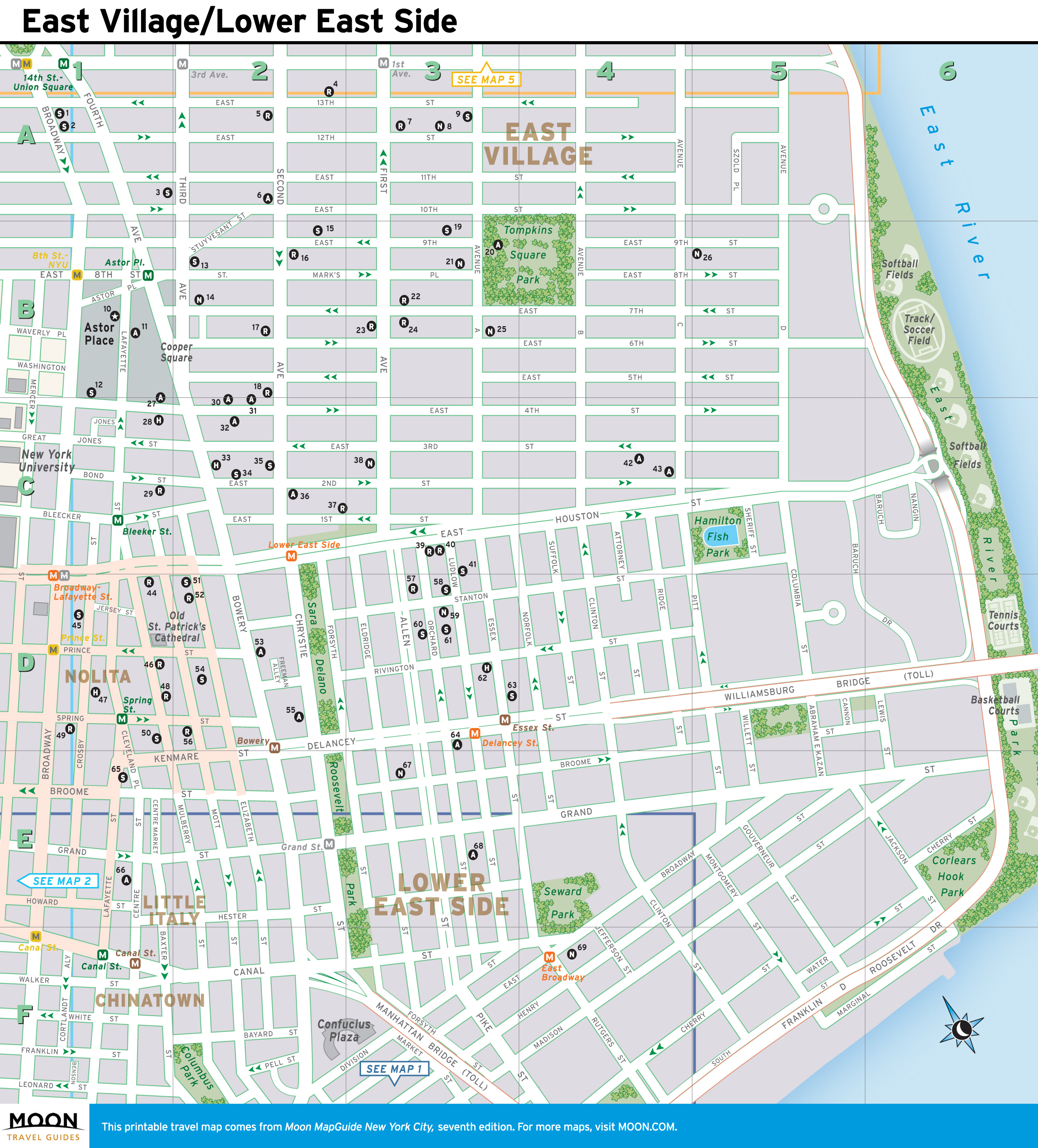
New York City Map: East Village and the Lower East Side
The East Village retains an edgy urban atmosphere, even though its low-rent past is firmly behind it. From block to block, you’ll find a colorful mix of pricey boutiques, yoga studios, experimental theaters, and noisy bars, as well as surprising ethnic enclaves — like the stretch of 6th Street near 2nd Avenue that is lined with Indian restaurants. At St. Mark’s Place, head shops, comic-book stores, and music shops abut yuppie taverns. Around Tompkins Square Park, pubs and coffee shops surround one of the city’s biggest dog runs.
The Lower East Side begins at Houston (pronounced HOW-stun) Street and extends south. Once the home of New York’s immigrant communities, it was the most crowded residential area in the world at the turn of the 20th century. Today, the area is dense with trendy bars and eateries, though a few historic establishments have survived to the present day. To the west, tiny Nolita (North of Little Italy) is a charming enclave of narrow streets crammed with glitzy restaurants and wonderful boutiques. Chinatown has expanded northward, reducing Little Italy to a stretch of Mulberry Street, with a few old-fashioned restaurants amid the tourist traps.
Printable Map of East Village and the Lower East Side
This neighborhood overview and travel map of East Village/Lower East Side comes from the Seventh Edition of Moon MapGuide New York City. The maps available in our MapGuides contain markers that correspond to listings for sights, hotels, and other attractions.
You are welcome to download and print this map for non-commercial, non-infringing use, including use by educators and students in the classroom.
Looking for more free printable maps of New York City neighborhoods? Check out our New York travel map collection.