Driving Hwy-1 Along California’s Northern Coast
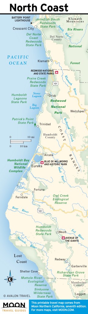
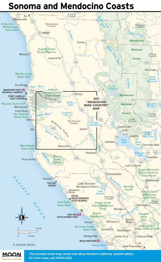
Along northern California’s winding stretch of Hwy-1, you’ll find a number of whistle-stops and old logging and fishing towns. First you’ll pass through Crescent City and Eureka, and some of the oldest old-growth forests at Humboldt Redwoods State Park, before US-101 breaks away from the coast at Leggett. Here, CA-1 picks up the route, passing through the urbane town of Mendocino, briefly diverging from the coast to the town of Valley Ford before rejoining the sea near the mouth of Tomales Bay.
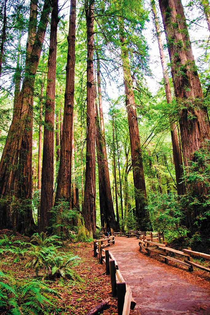
The highway runs by the beautiful 71,028-acre Point Reyes National Seashore, Muir Woods, and Golden Gate Bridge National Recreation Area before merging with US-101 to cross the famed Golden Gate Bridge to San Francisco. This spirited city birthed America’s first counterculture and remains a hotbed of diversity.
Newsletter Signup
By clicking ‘Sign Up,’ I acknowledge that I have read and agree to Hachette Book Group’s Privacy Policy and Terms of Use
Planning Your Time
Allow five days for exploration of the main sights along the northern coast, and a week to make the most of what Northern California’s beaches, national forests, and historic cities have to offer.
Accommodations along the northern redwood coast are rustic but not hard to find. The towns from Fort Bragg south to San Francisco, including Mendocino, Bodega Bay, Point Reyes, and Stinson Beach, are popular getaways for city-dwellers; expect the charm and prices to rise accordingly.
It’s just over 350 miles from Crescent City to San Francisco. If you plan to follow US-101 to CA-1, which hugs the coastline, navigate carefully around the bends and turns, planning extra driving time for scenic viewing and photo stops. Gas stations are well placed along the highway and within towns and cities.
Getting There
From the north, US-101 provides a direct path from Oregon to Northern California, connecting to the northern coast and Eureka to the south. US-199 begins north of Crescent City and travels northeast to Grants Pass, Oregon. The junction of US-101 and US-199 is one of only two junctions of two U.S. routes in California.
US-101 and CA-1 (also known as Hwy-1, California 1, Shoreline Highway, Pacific Coast Highway, and PCH) are the best north-south routes, providing a phenomenal scenic drive along most of California’s Pacific coastline. CA-1 at times runs parallel to US-101. Its southern end is at I-5 near Dana Point and its northern end is at US-101 near Leggett.


Newsletter Signup
By clicking ‘Sign Up,’ I acknowledge that I have read and agree to Hachette Book Group’s Privacy Policy and Terms of Use
Pin it for Later
