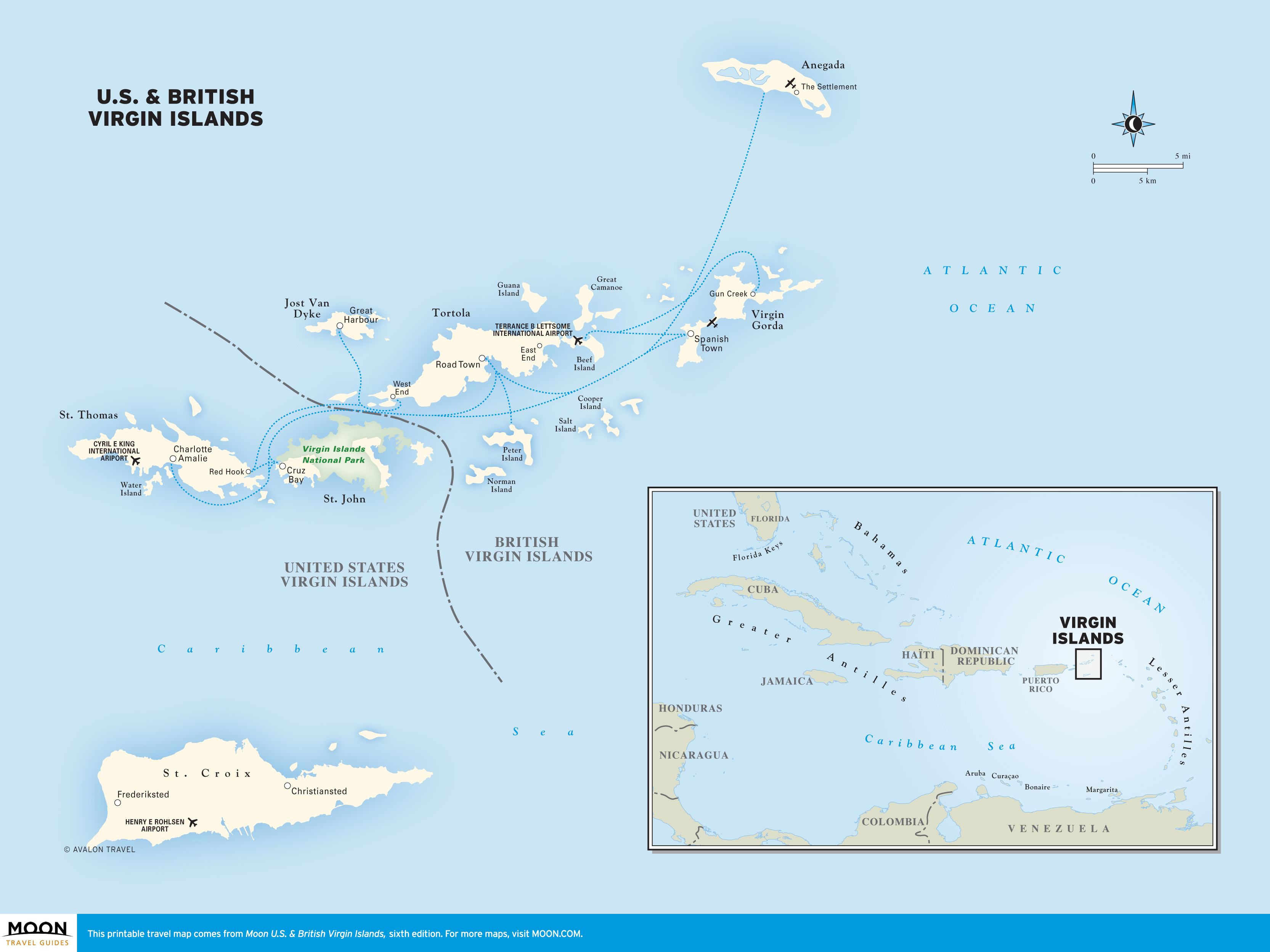
Virgin Islands
These free, printable travel maps of the Virgin Islands are divided into seven regions:
Explore the US & British Virgin Islands with these helpful travel maps. Ensure you have the newest travel maps from Moon by ordering the most recent edition of our travel guides to the Virgin Islands.
Travel Maps of Virgin Islands
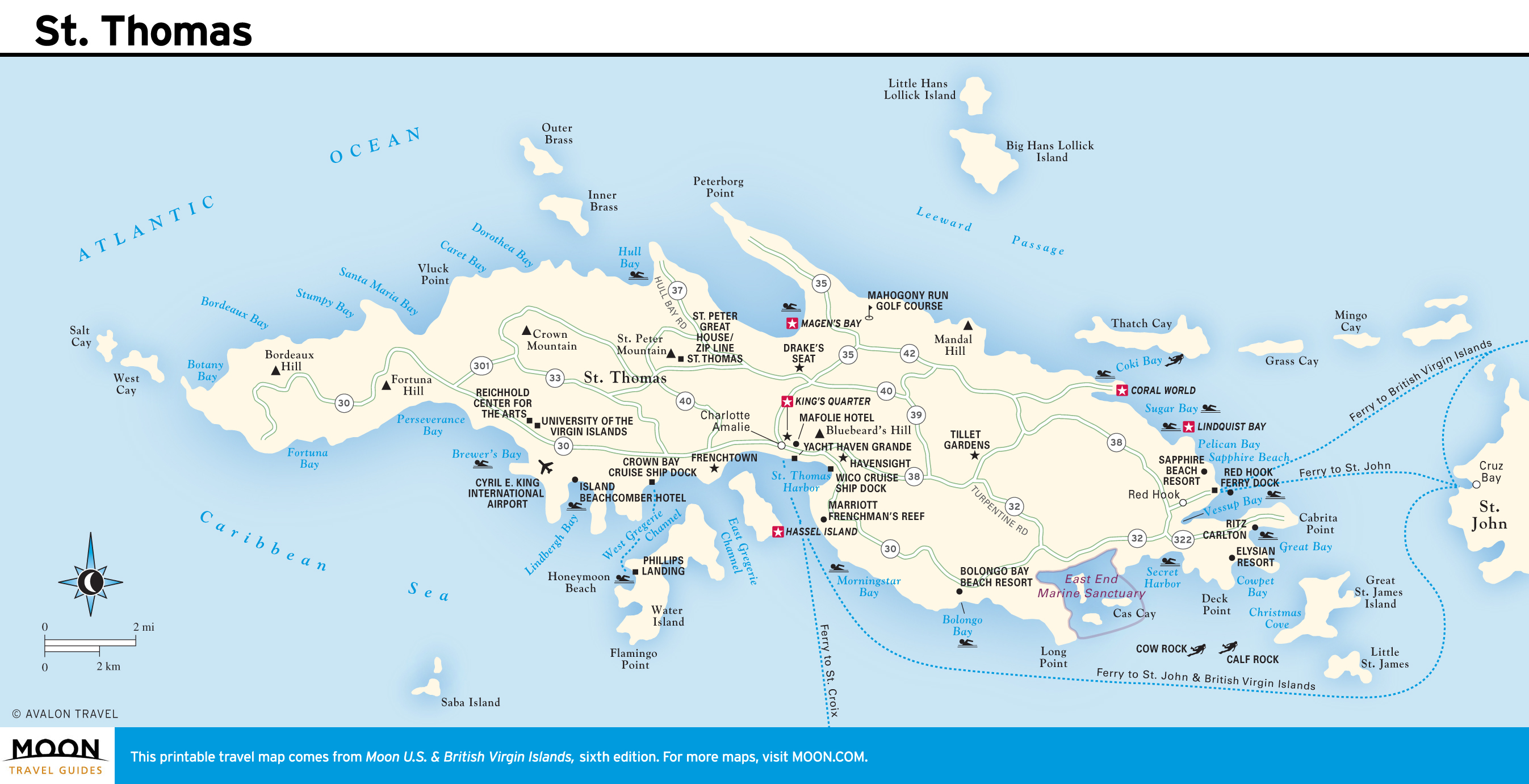
St. Thomas
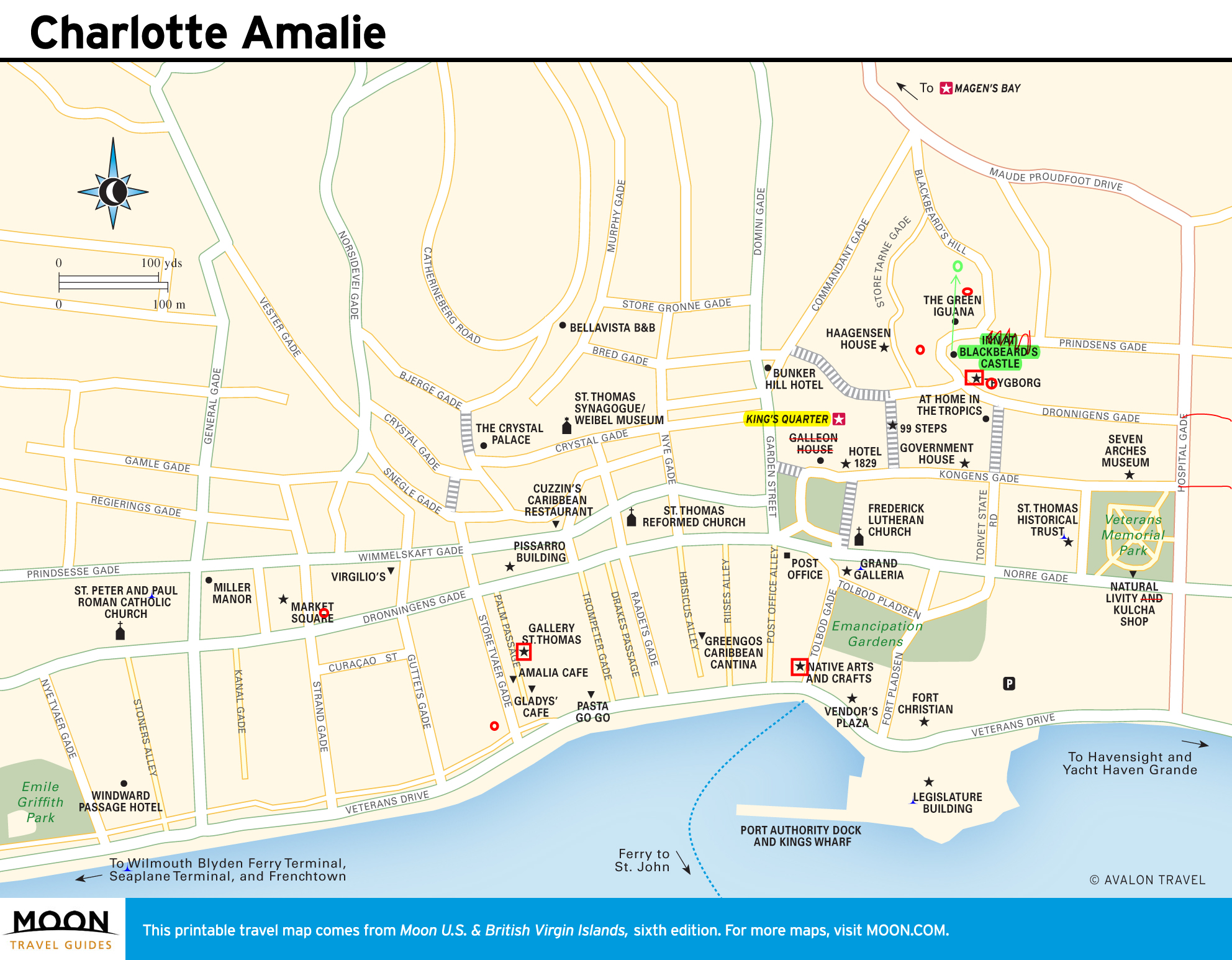
Bustling, crowded, and commercial, St. Thomas is the most accessible of the Virgin Islands. Historic Charlotte Amalie is the main attraction, although spectacular beaches like Magen’s Bay and Smith Bay provide an escape from the city.
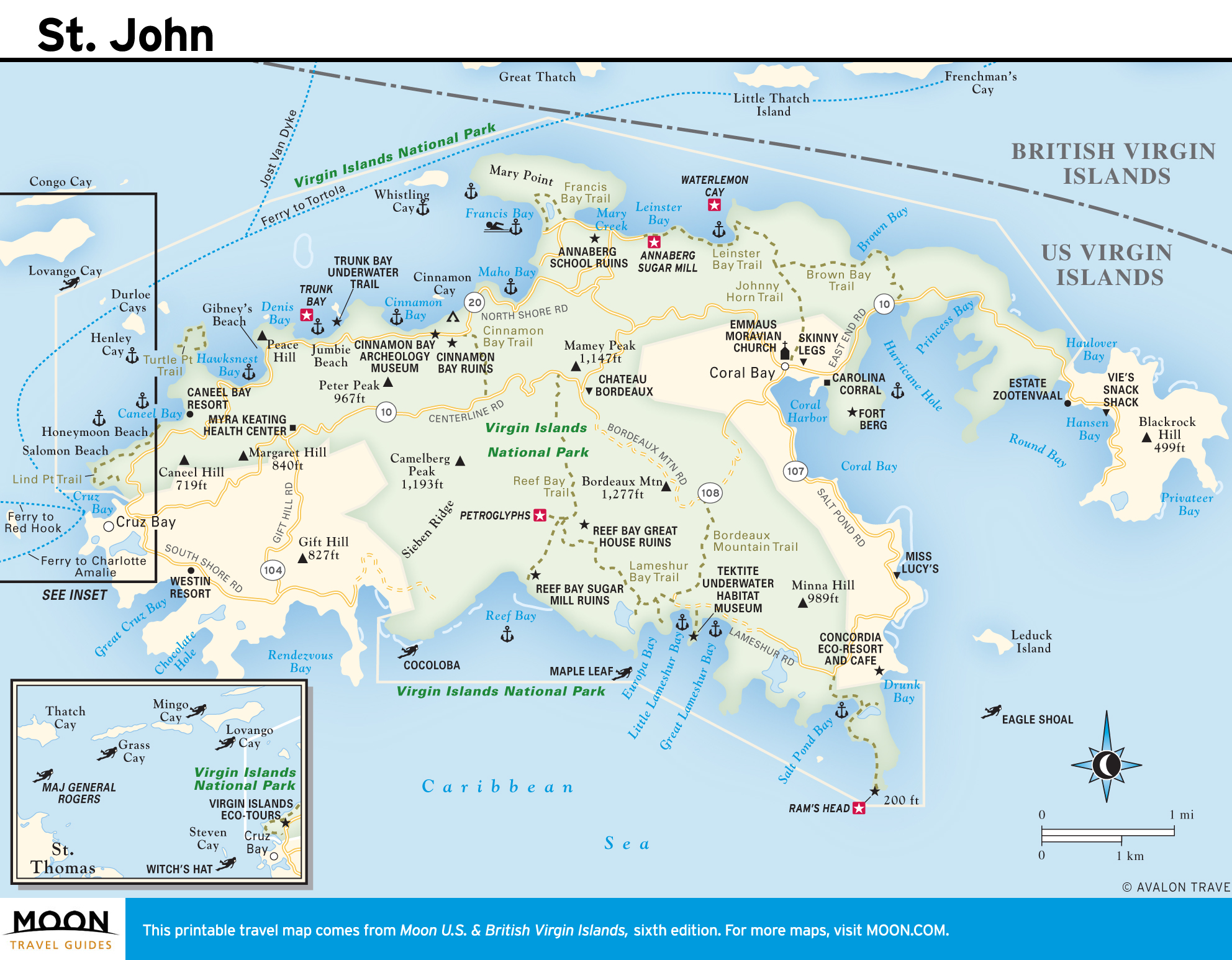
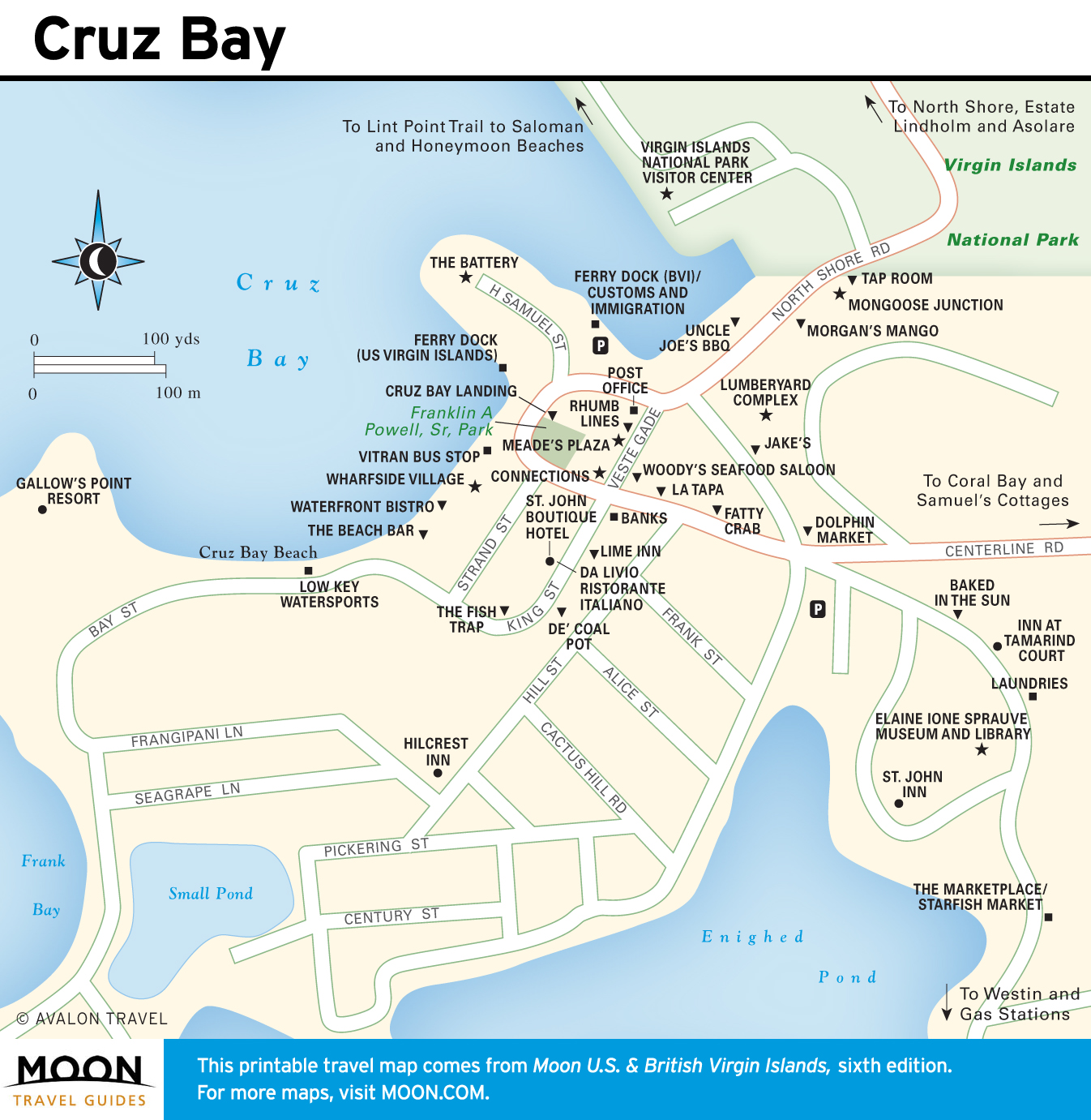
St. John
Some two-thirds of St. John is protected by the Virgin Islands National Park. St. John has the best beaches in the U.S. Virgin Islands, and the best hiking in the whole archipelago.
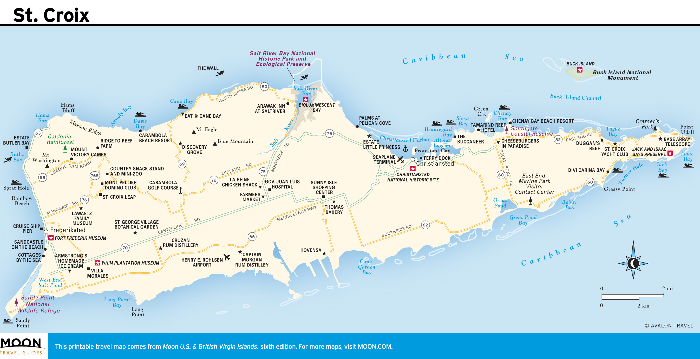
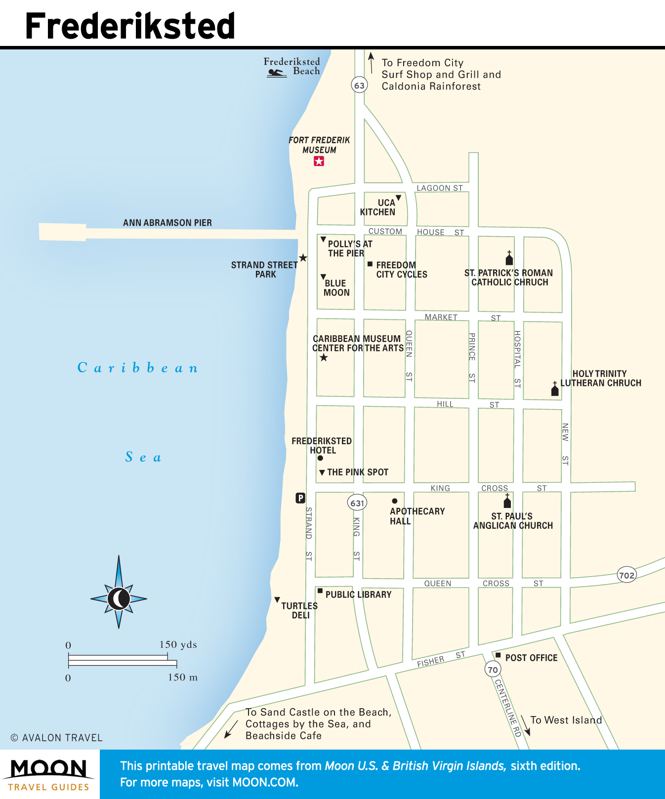
St. Croix
The largest of the Virgin Islands, St. Croix offers an appealing balance of history, natural beauty, and culture.

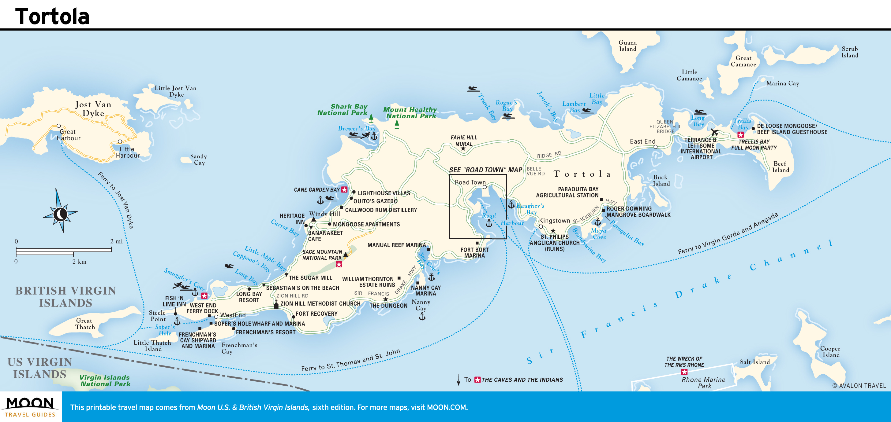
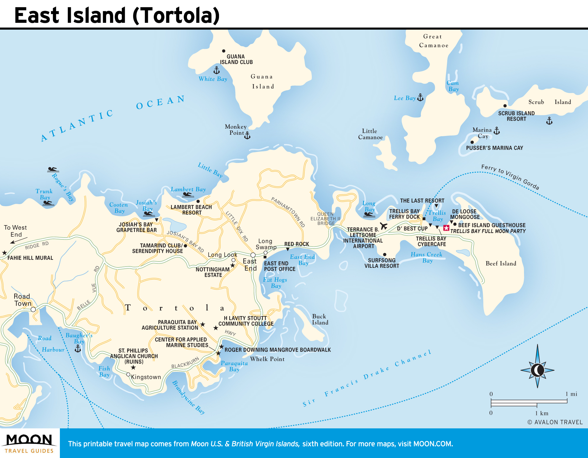
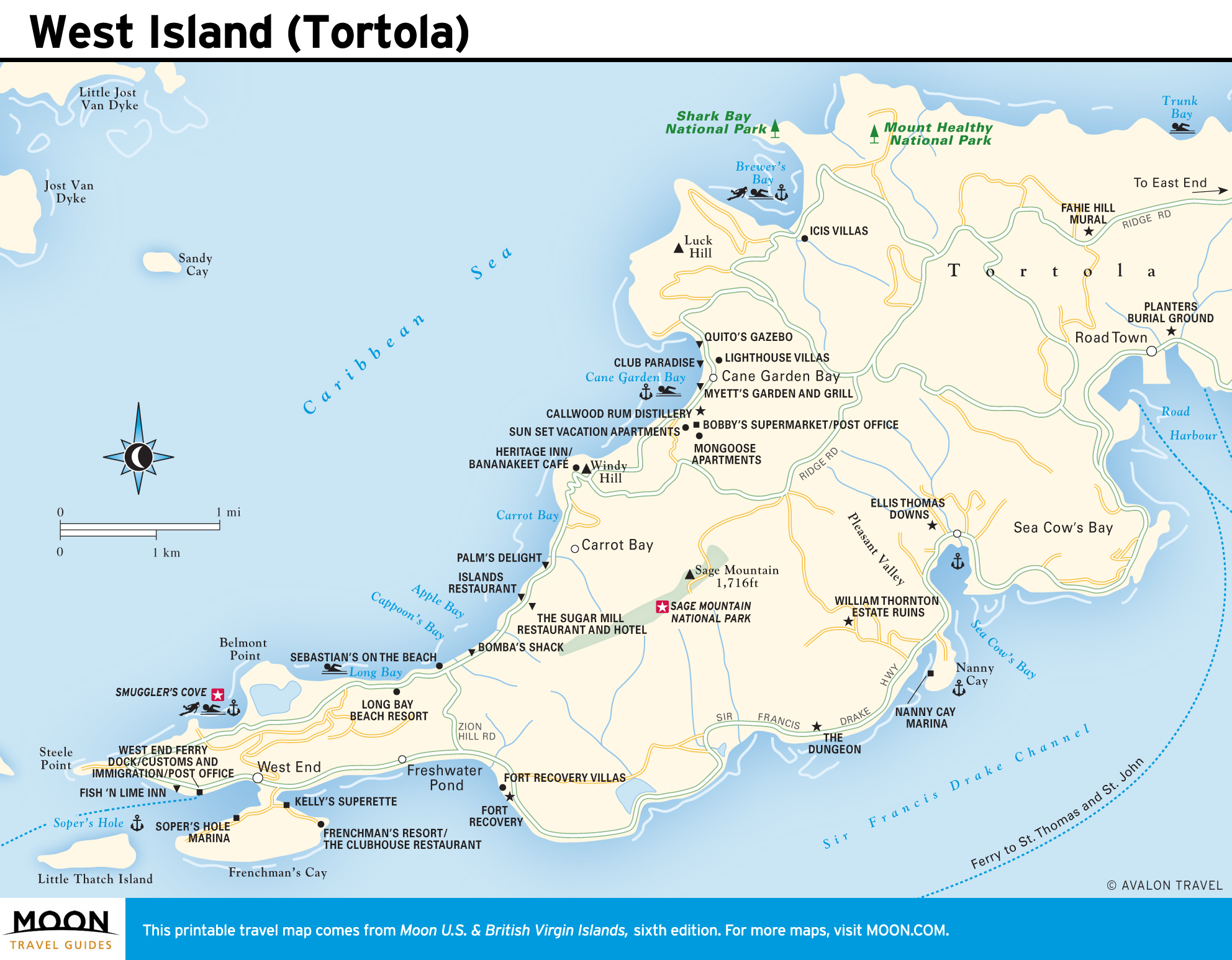
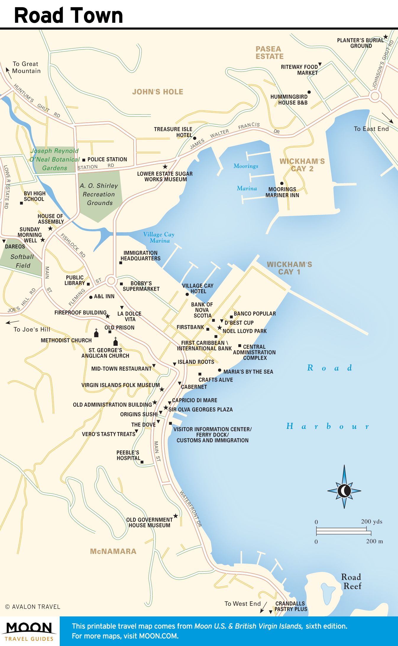
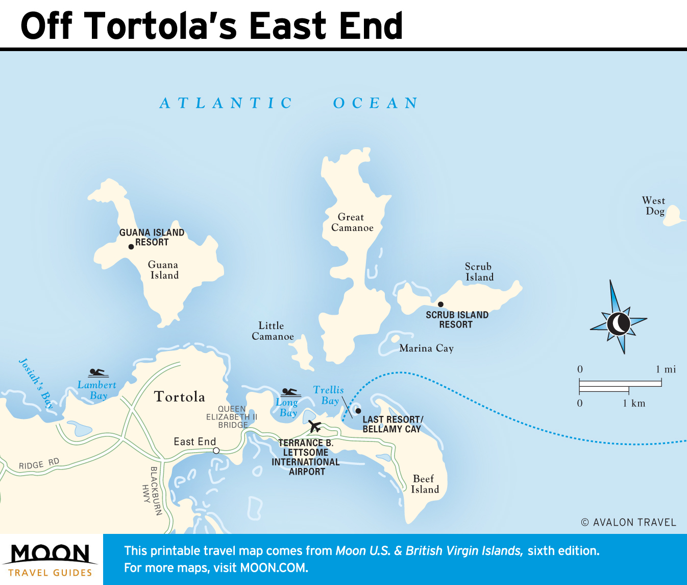
Tortola
Tortola is an island of steep hills, remarkable vistas, and quiet beaches. Delight in the exquisite white sand at Smuggler’s Cove, hike through a tropical forest at Sage Mountain National Park, or admire tropical flowers and trees at the Joseph Reynold O’Neal Botanical Gardens.
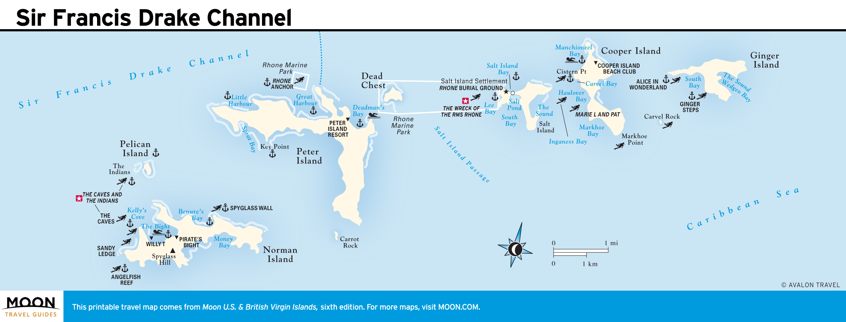
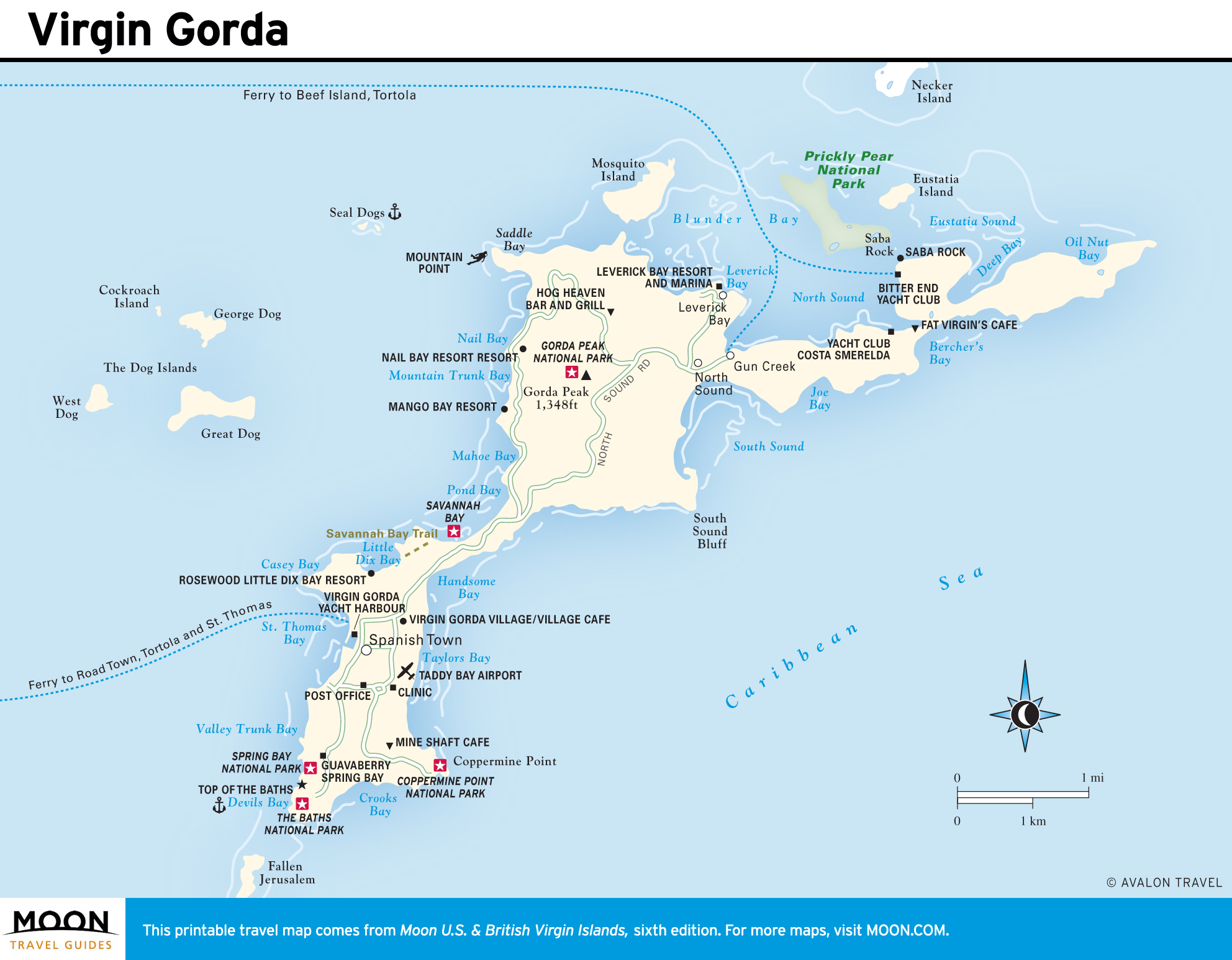
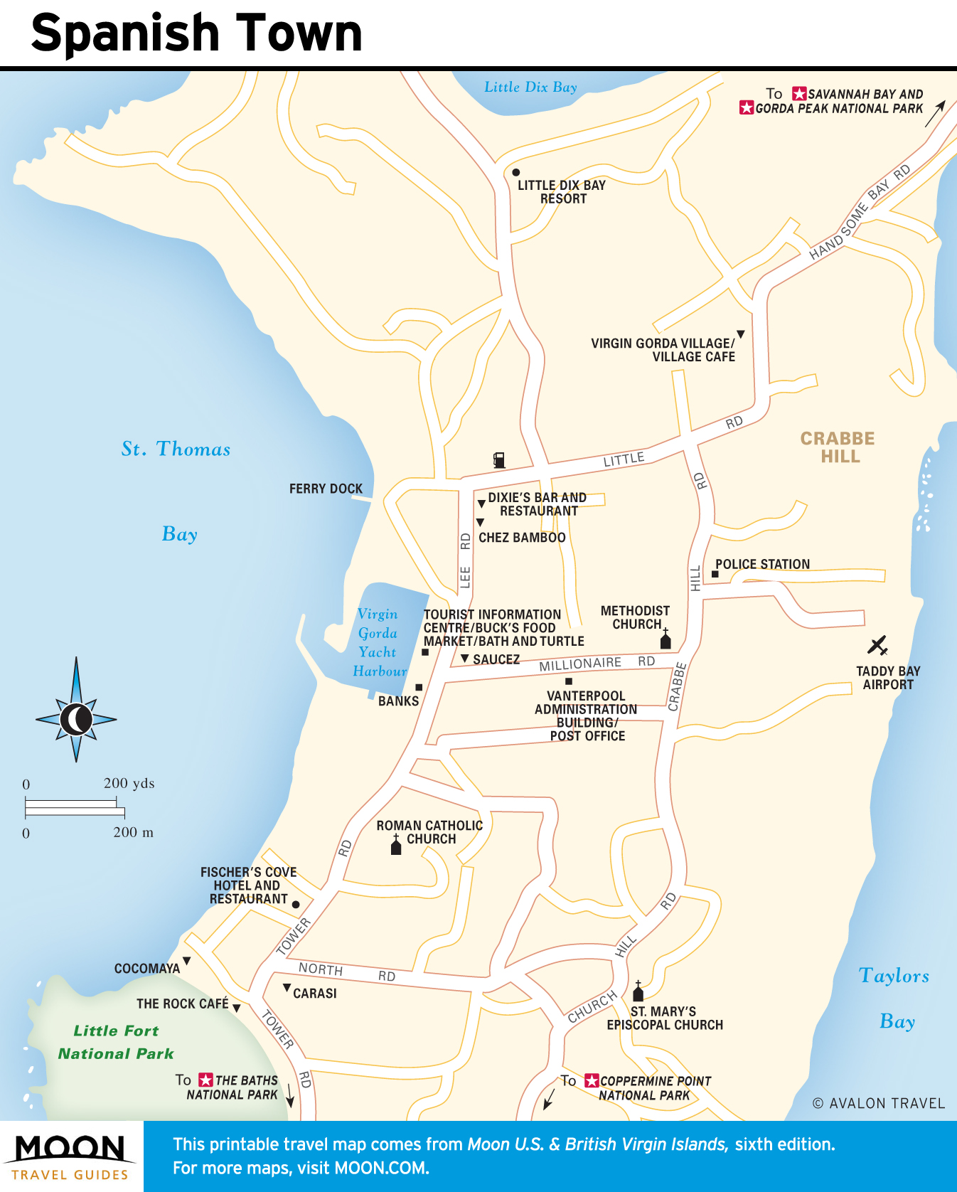
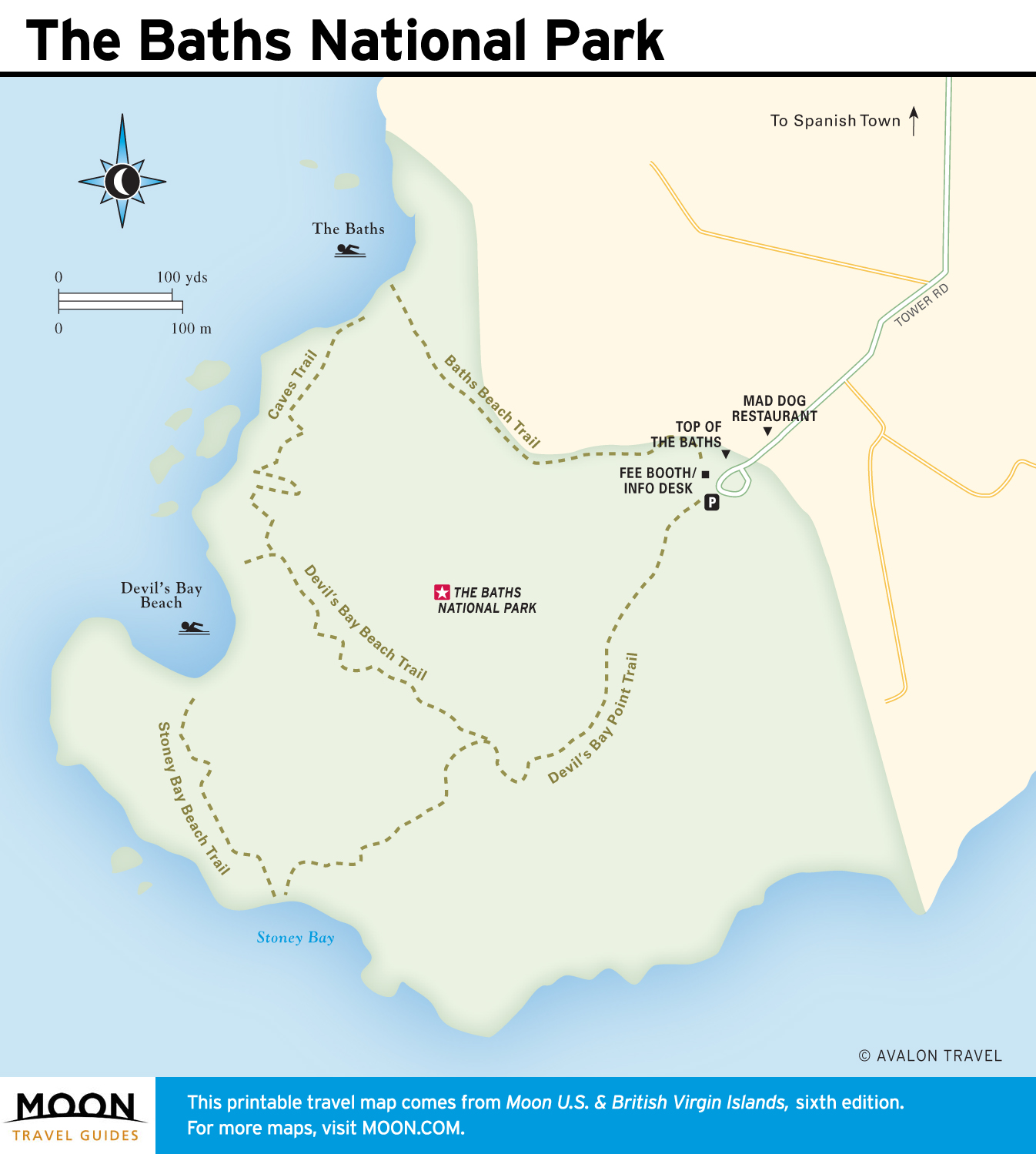
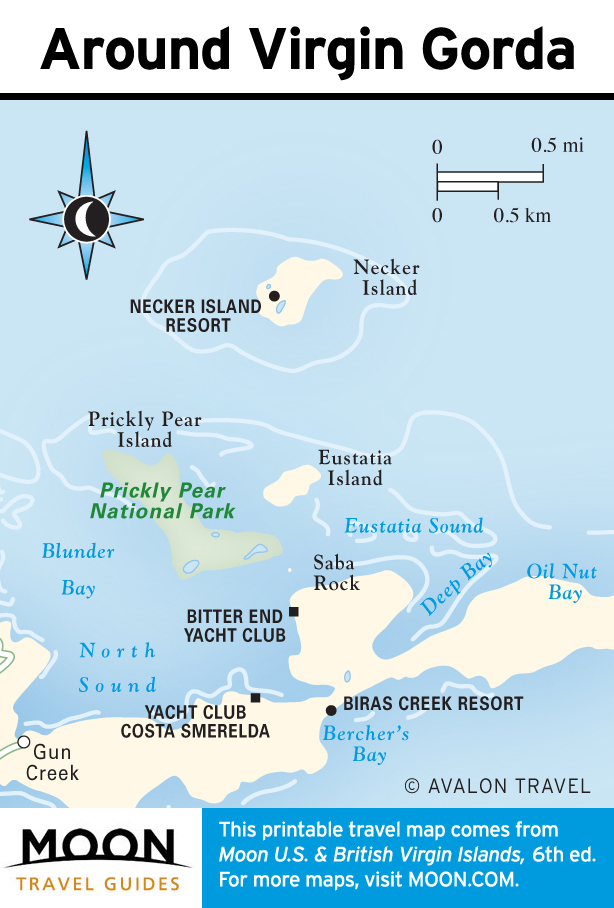
Virgin Gorda
At The Baths National Park, giant boulders create grottoes and pools that have delighted visitors for generations. On the other end of the island, North Sound is a sailor’s paradise: a community without roads, where the fastest route between two points is over the water. In between, find a series of unspoiled beaches and a quaint town. Gorda Peak National Park, home to the world’s smallest lizard, is good for hiking.
Jost Van Dyke
This tiny island has more goats than people, and more visitors than year-round residents.

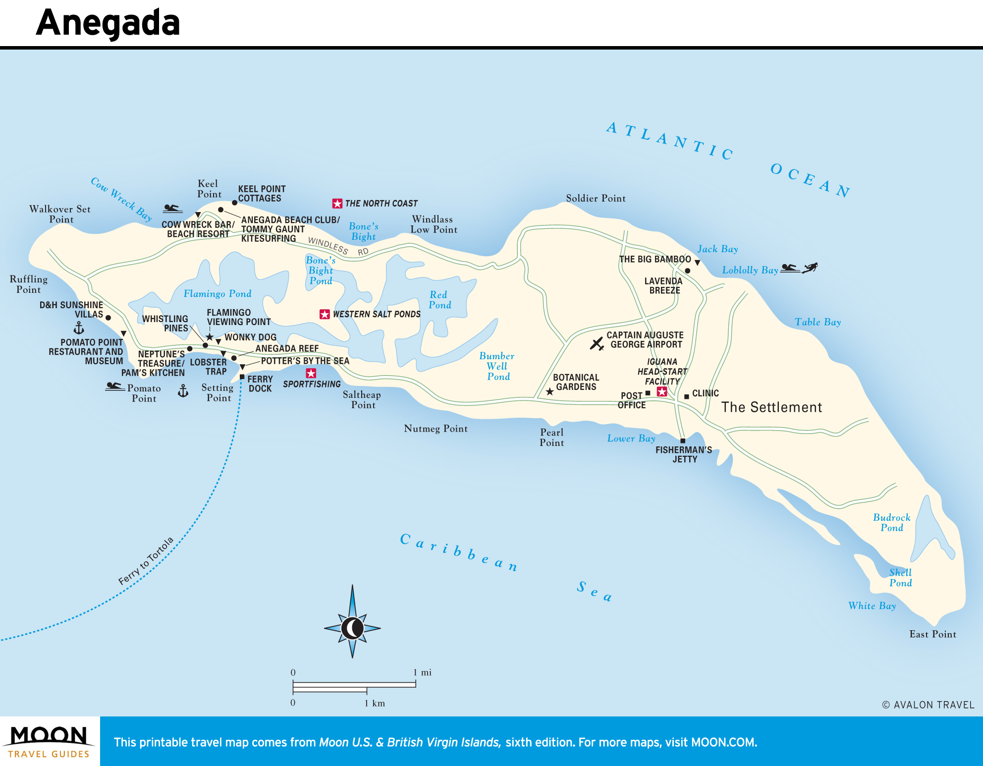
Anegada
Flat, dry, and sparsely populated, Anegada is famous for its miles of sandy coastline, endangered iguanas, world-class kitesurfing, and the fresh lobsters fishers harvest from reefs around the island.