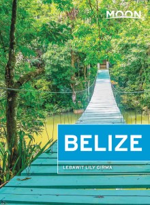
Belize
These free, printable travel maps of Belize are divided into eleven regions:
- Belize and Belize City
- The Northern Cayes
- Belmopan and Cayo
- Southern Coast
- Punta Gorda and the Toledo District
- Northern Belize
Explore Belize with these helpful travel maps. Ensure you have the newest travel maps from Moon by ordering the most recent edition of our travel guides to Belize and the Cayes.
Belize and Belize City
This stretch of coastline, islands, and swampy lowlands includes former capital Belize City, still the hub of Belizean city life and the heart of its colonial past.


The Northern Cayes
This group of islands is the most visited part of Belize. Ambergris Caye lures with swanky beach resorts, endless bars, and plentiful restaurants. Caye Caulker, just down the reef, offers a less dizzying pace with an authentic, Caribbean vibe and opportunities for snorkeling at The Split or viewing manatees at Swallow Caye Wildlife Sanctuary.


Belmopan and Cayo
Once the heart of the Mayan civilization, Belize’s western interior offers a remarkable selection of outdoor activities.


Southern Coast
Dangriga is the center of Belize’s Garífuna population, with an Afro-Caribbean beat, cultural and outdoor activities, and a strategic location close to Billy Barquedier National Park. Just down the coast, lazy Hopkins has long stretches of beach, and plenty of dining and accommodation options, as well as a strong Garífuna vibe.


Punta Gorda and the Toledo District
Forest and reef, river and ruins, caves and ridges—all await the small handful of visitors who get off the beaten path into the “deep south” of Belize.


Northern Belize
Northern Belize is often skipped by travelers—unless they’ve heard about Chan Chich Lodge, a unique rainforest eco-lodge at the Gallon Jug Estate, or the gorgeous accommodations at Lamanai Outpost Lodge, set amid the remote, vast Maya ruins of Lamanai Archaeological Site.


