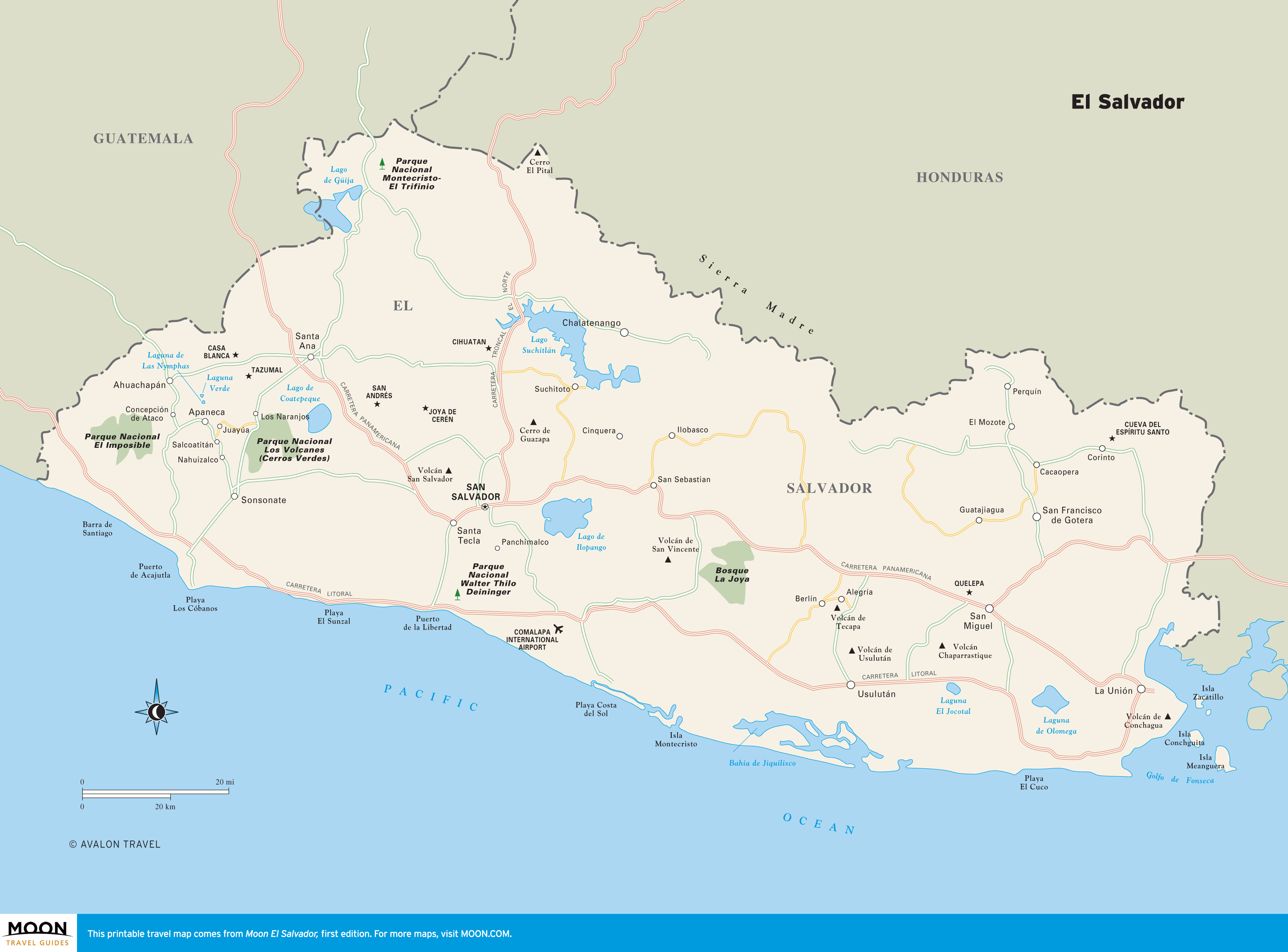
El Salvador
These free, printable travel maps of El Salvador are divided into four regions:
Explore El Salvador with these helpful travel maps from Moon.
El Salvador
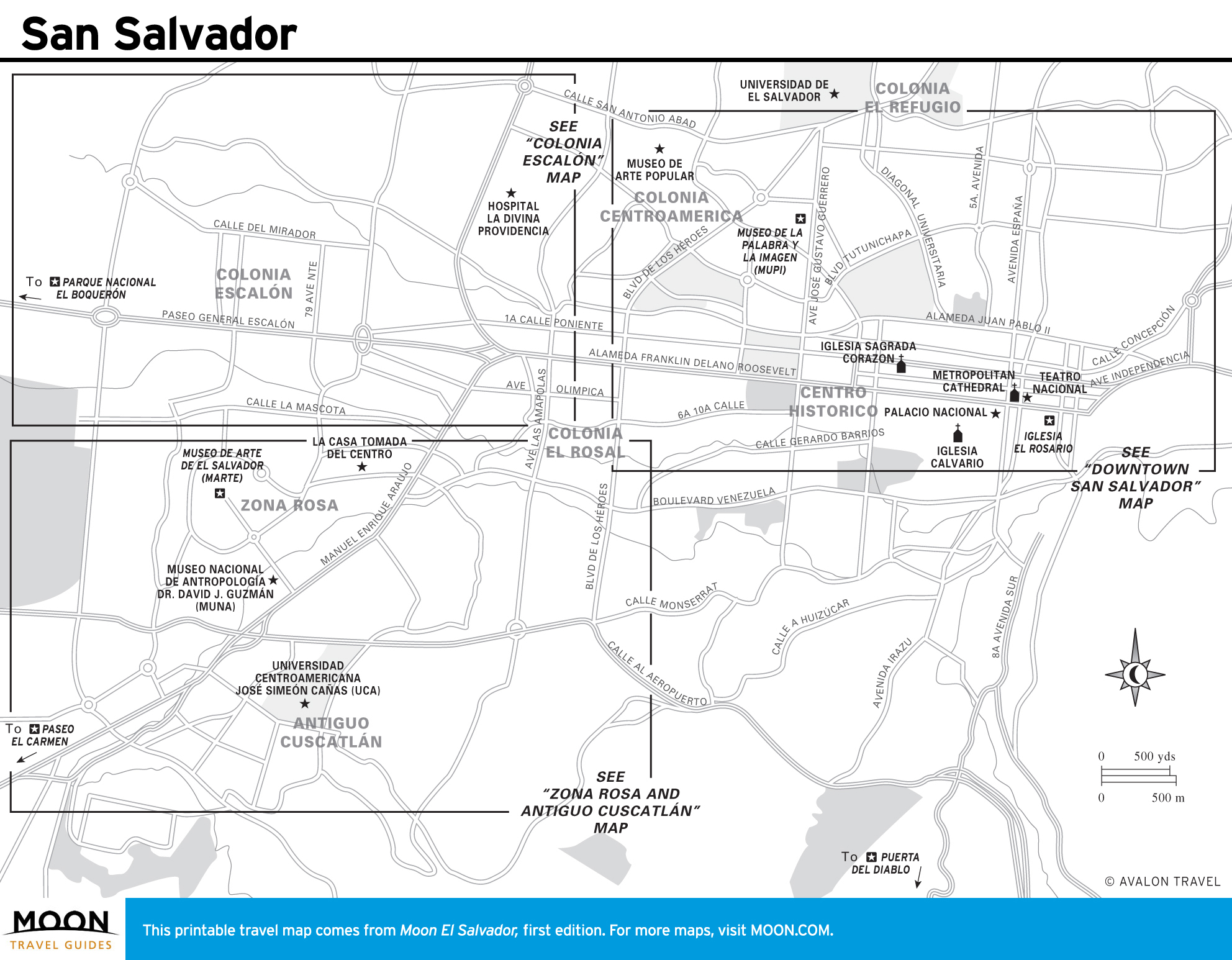
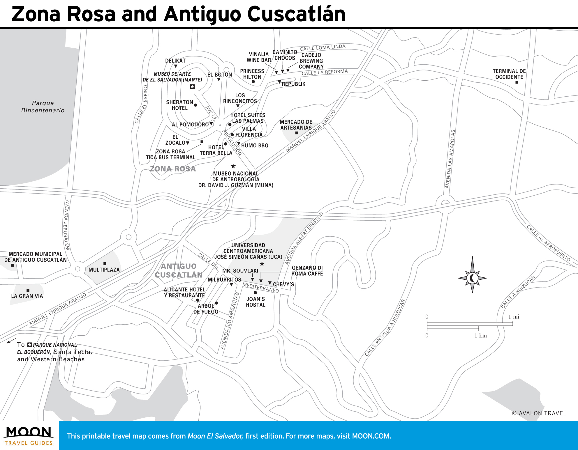
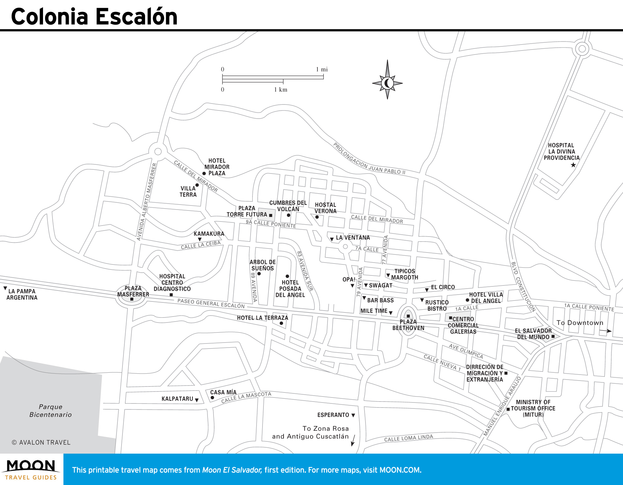
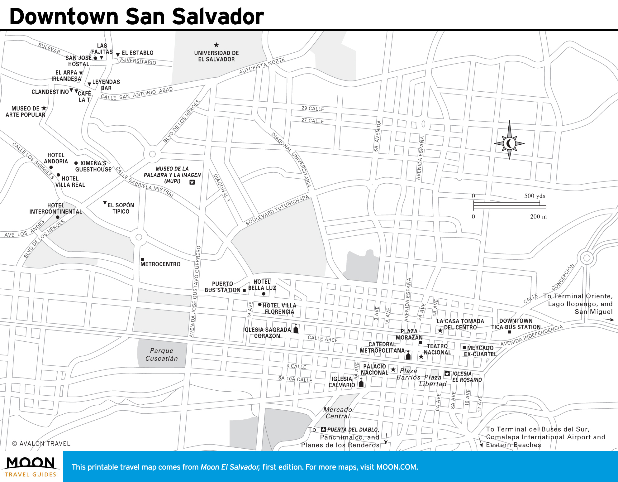
San Salvador
San Salvador sits in a fertile valley and has a history as eruptive as the volcanoes that surround it. The museums, restaurants, and bars of Zona Rosa are perfect for an afternoon of art and culture, and day trips to the natural attractions of Parque Nacional El Boquerón or Puerta del Diablo are just a quick drive to the outskirts of the city.
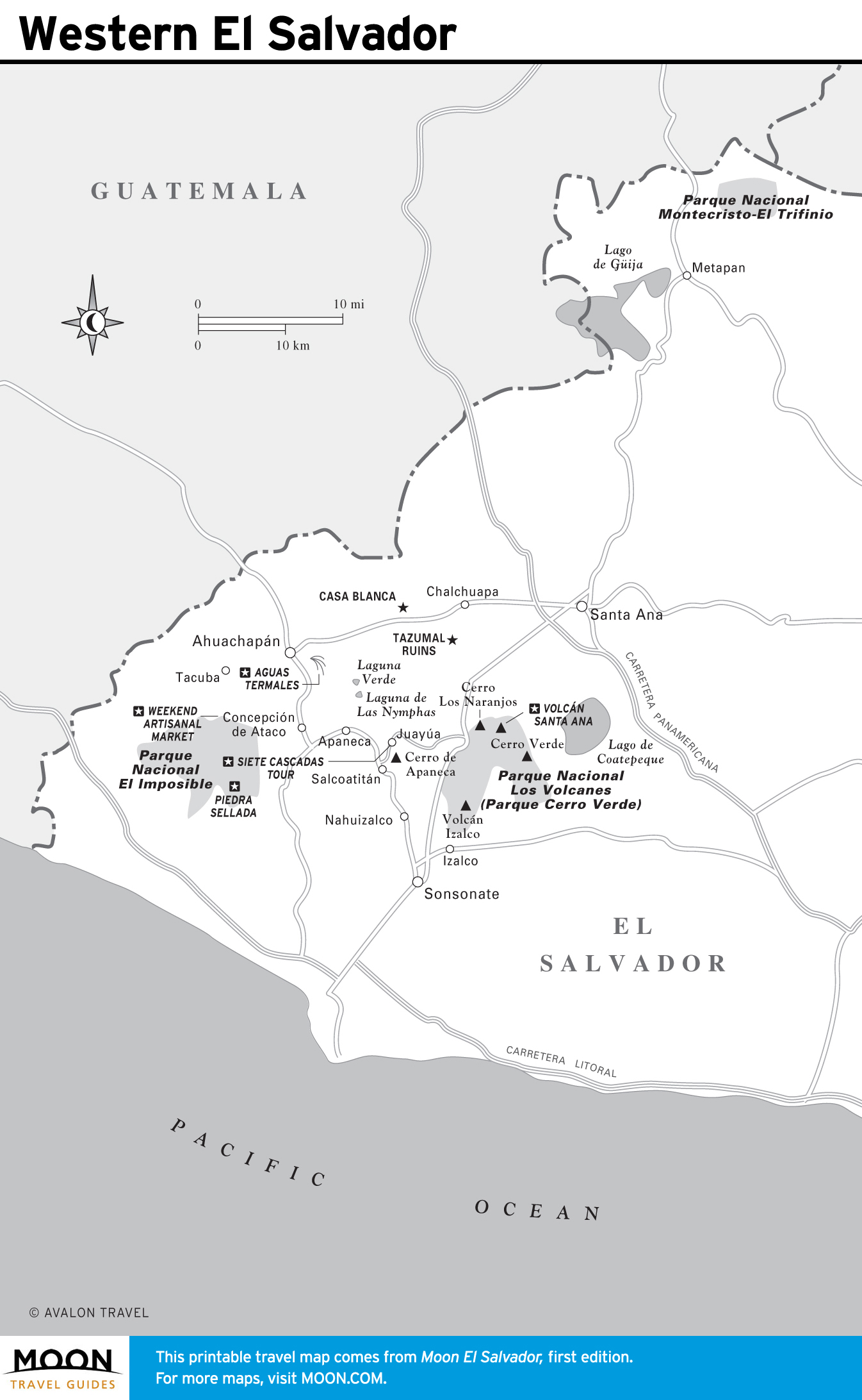
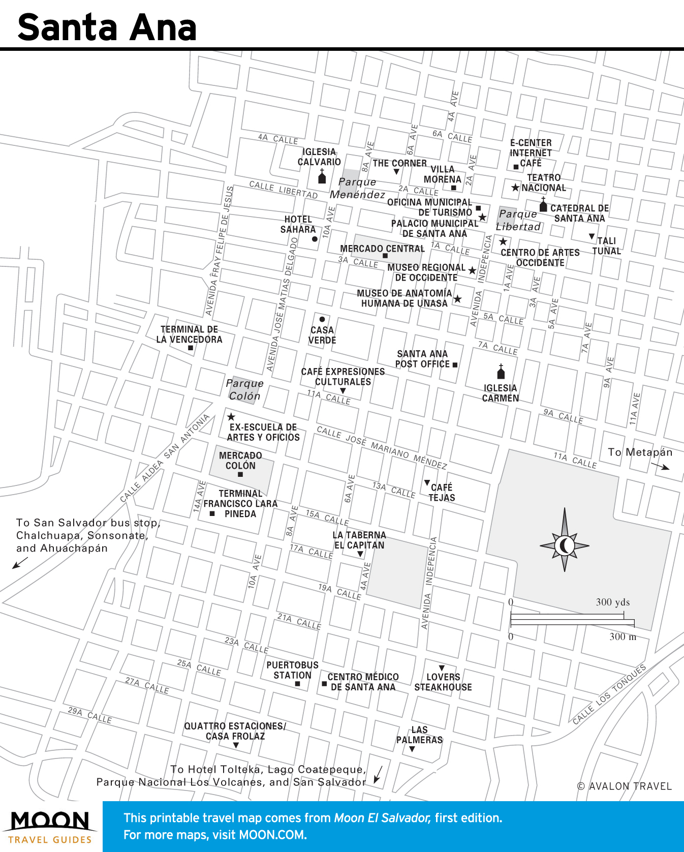
Western El Salvador
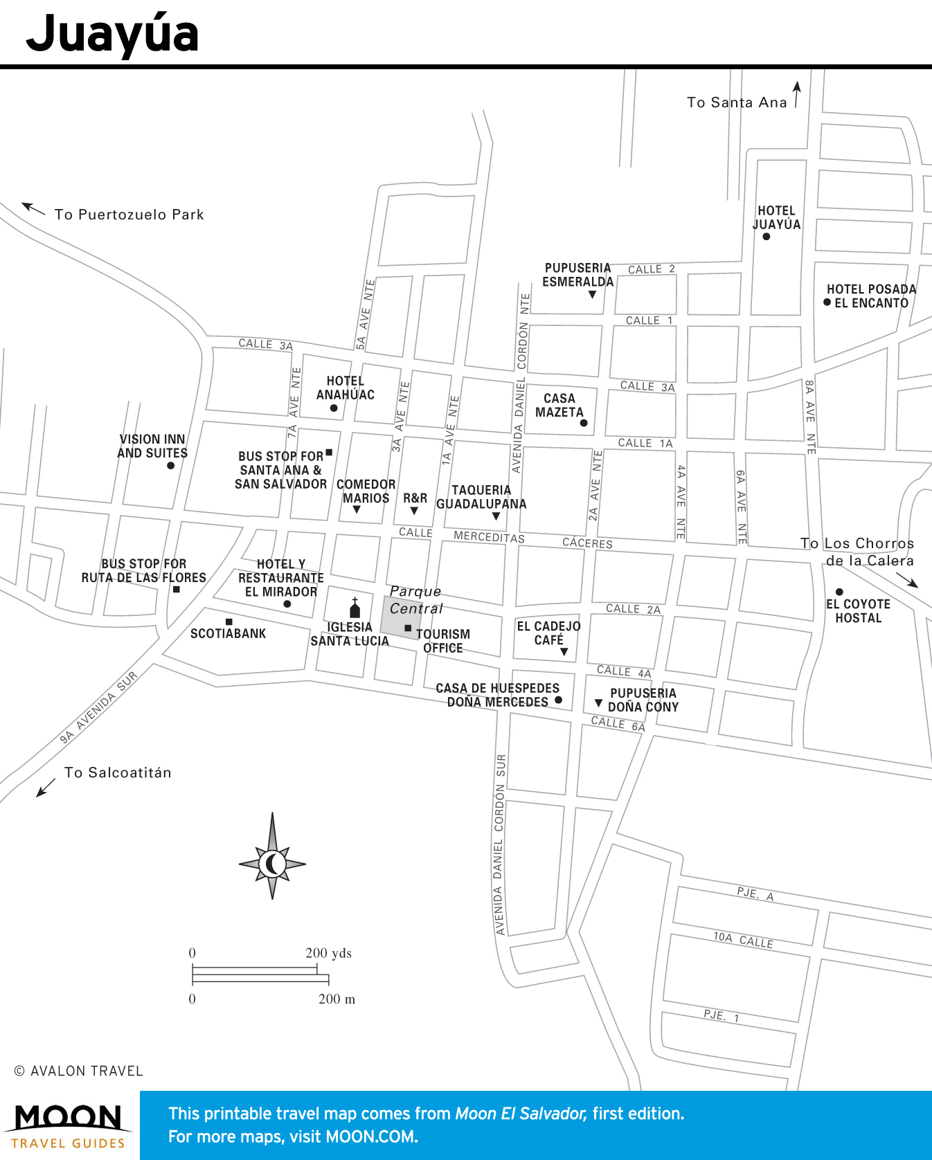
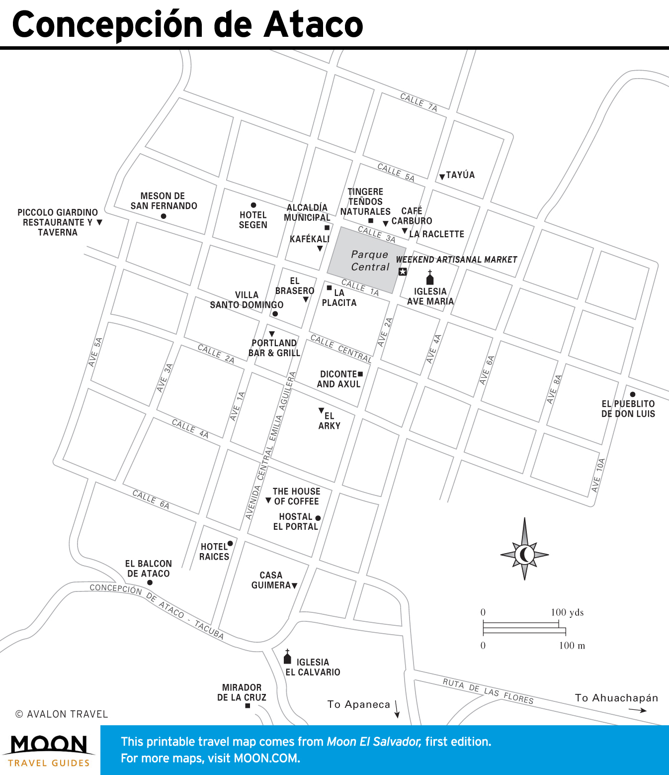
Just west of San Salvador, the scenic rolling Ruta de Las Flores takes you through the Sierra Apaneca-Ilamatepec mountain range, punctuated with charming little towns including Juayúa, home of El Salvador’s most popular weekend food fair and Concepción de Ataco, the colorful
cobblestone village.
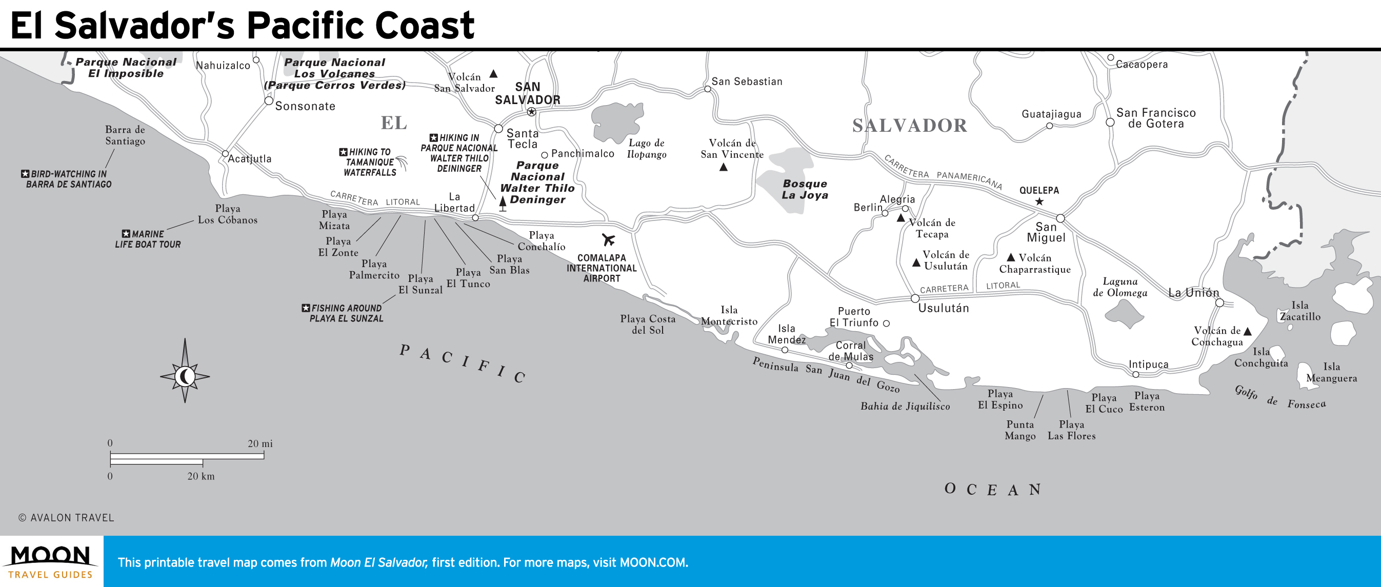
The Pacific Coast
With just over 300 kilometers of Pacific coastline, there’s something for everyone on the beaches of El Salvador.
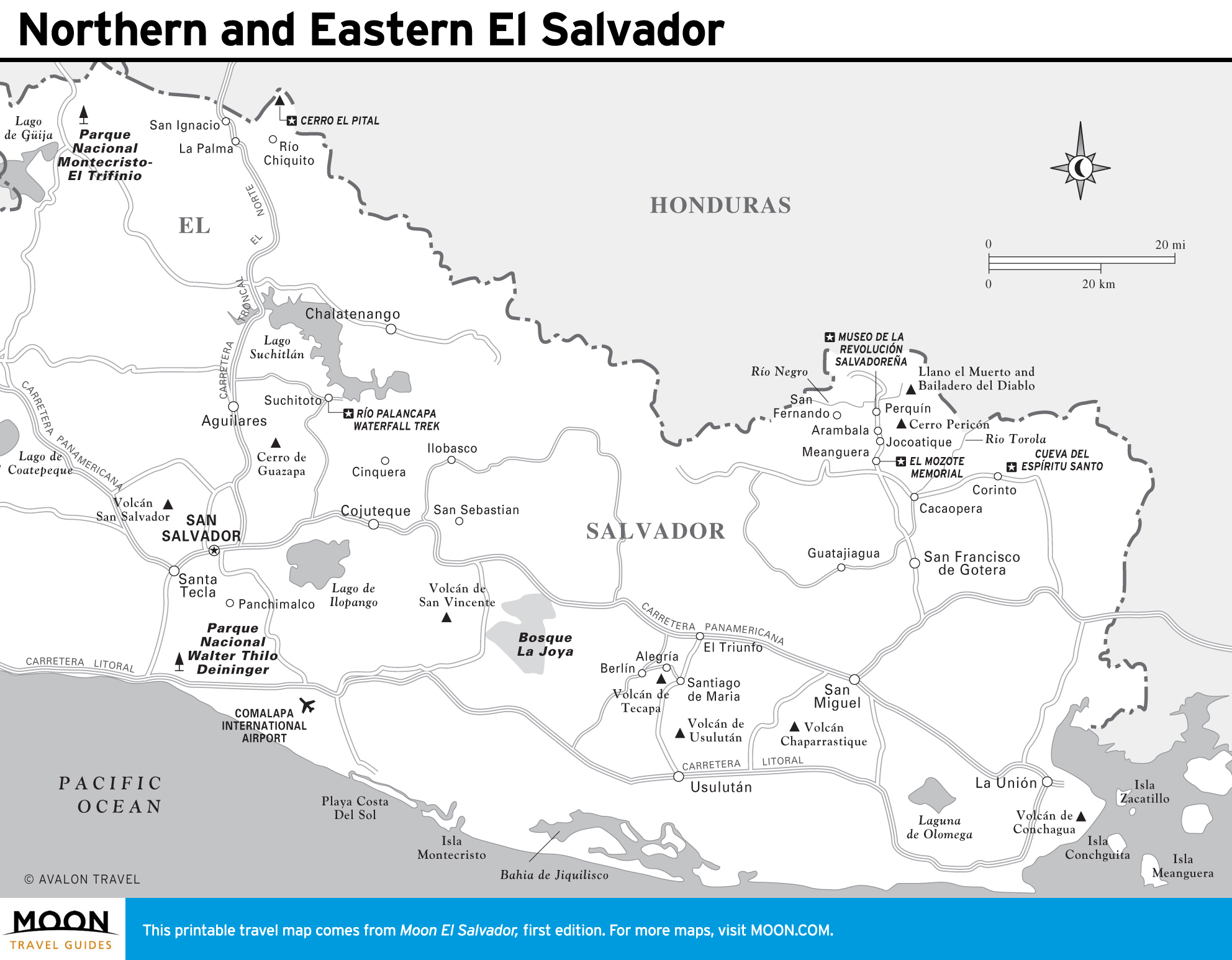
Northern and Eastern El Salvador
The first Spanish settlement in El Salvador, Suchitoto still shows its colonial roots, with cobblestone streets and crumbling century-old homes. The nearby ruin of Cihuatán is the largest pre-Hispanic site found in the country, and farther north the whimsical town of La Palma showcases the art of famed artist Fernando Llort.