South Dakota
These free, printable travel maps of South Dakota are divided into four regions:
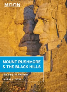
Explore South Dakota’s Black Hills with these printable travel maps. Ensure you have the newest travel maps from Moon by ordering the most recent edition of our travel guide to Mount Rushmore & the Black Hills.
Mount Rushmore and the Black Hills

Mount Rushmore and the Central Hills
Mount Rushmore is a symbol of American exploration and expansion, a testimony to the visionary dreams of our founding fathers, and a tribute to individual effort and collective achievement. It’s also at the heart of local tourism. Served by urban and transportation center Rapid City and supported by the old mining communities of Hill City and Keystone, this mountainous region is the hub of a Black Hills visit.


The Southern Hills
It’s all about wildlife, warm water, and history in the soft rolling landscape of the Southern Hills. Custer State Park provides the best wildlife-viewing opportunities in the state, with accommodations that range from rustic to luxurious.


The Northern Hills
Outdoor beauty and recreational opportunities grace every corner of the hills, and the northern region is no exception. Once the stomping grounds of the likes of Wild Bill Hickok and Calamity Jane, this is a place where the raucous spirit of the Wild West flourishes.


The Badlands
Set in the midst of the vast plains, a wall of tall spires, flat-topped grassy buttes, and craggy eroding cliffs present an otherworldly landscape to visitors.


