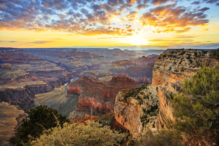
Scenic Drive in Bryce Canyon National Park
From elevations of about 8,000 feet (2,438 m) near the visitors center, the park’s scenic drive gradually winds 1,100 feet (335 m) higher to Rainbow Point. About midway you’ll notice a change in the trees from largely ponderosa pine to spruce, fir, and aspen. On a clear day, you can enjoy vistas of more than 100 miles (161 km) from many of the viewpoints. Because of parking shortages on the drive, trailers or RVs longer than 20 feet (6 m) must be left at the visitors center or your campsite. Visitors wishing to see all of the viewpoints from Fairyland Point to Bryce Point should take a walk on the 5.5-mile (8.9-km) Rim Trail.
Note that even though the viewpoints are described here in north-to-south order, when the park is bustling, it’s better to drive all the way to the southern end of the road and visit the viewpoints from south to north, thus avoiding left turns across traffic. Of course, if you’re just heading to one viewpoint or trailhead, it’s fine to drive directly to it.
Fairyland Point
The turnoff for Fairyland Point is just inside the park boundary, but before you get to the booth where payment is required; go north 0.8 mile (1.3 km) from the visitors center, then east 1 mile (1.6 km). Whimsical rock formations line Fairyland Canyon a short distance below. You can descend into the fairyland on the Fairyland Loop Trail or follow the Rim Trail for other panoramas.
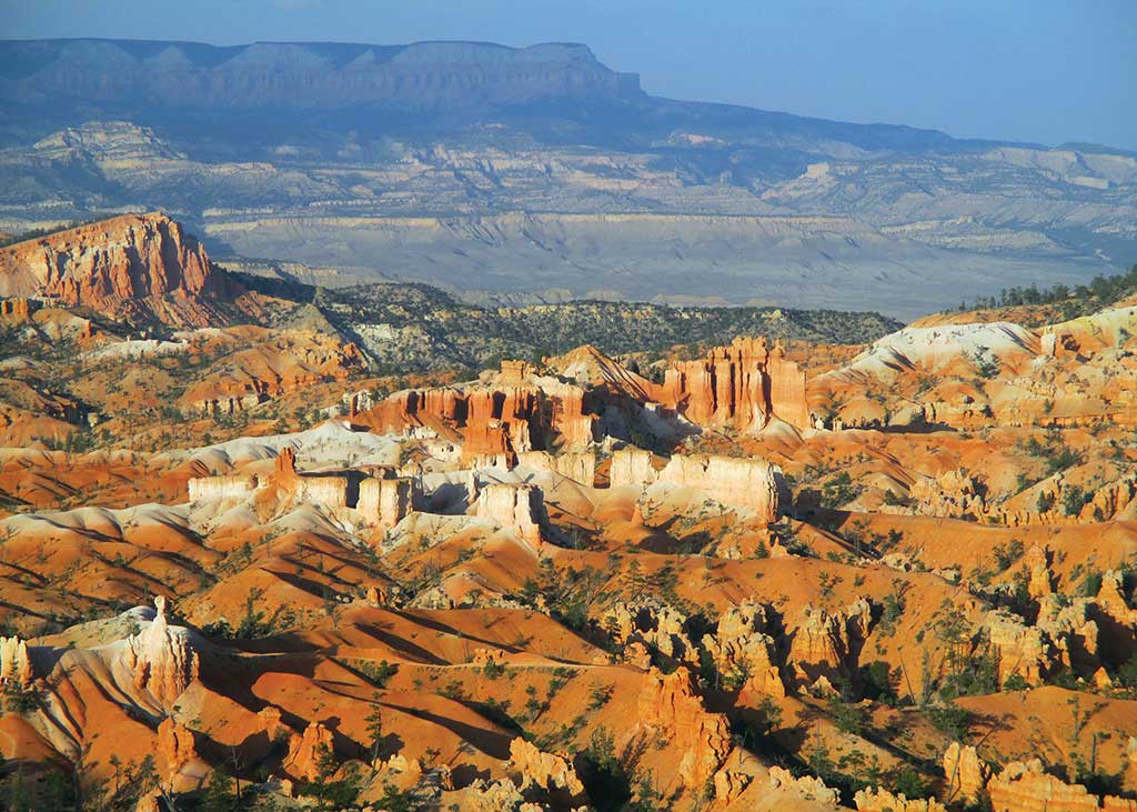
Sunrise and Sunset Points
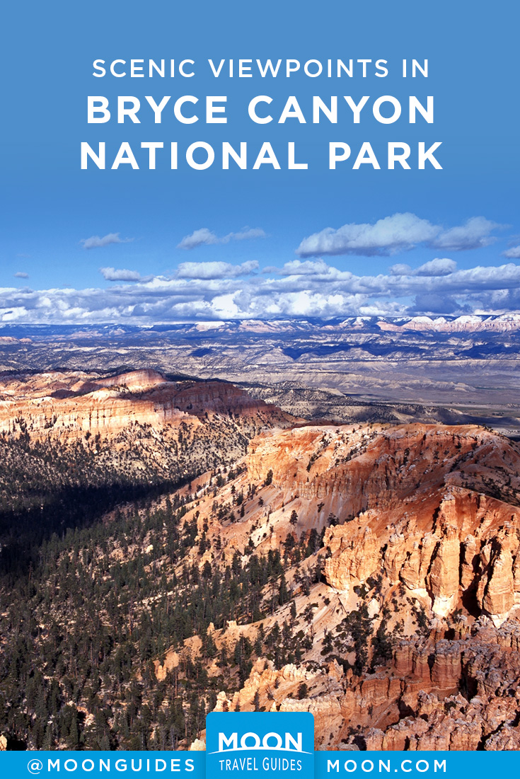
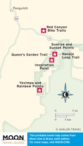
TThese overlooks are off to the left about 1 mile (1.6 km) south of the visitors center, and they’re connected by a 0.5-mile (0.8-km) paved section of the Rim Trail. Panoramas from each point take in large swathes of Bryce Amphitheater and beyond. The lofty Aquarius and Table Cliff Plateaus rise along the skyline to the northeast; you can see the same colorful Claron Formation in cliffs that faulting has raised about 2,000 feet (610 m) higher. A short walk down either the Queen’s Garden Trail or the Navajo Loop Trail from Sunset Point will bring you close to Bryce’s hoodoos and provide a totally different experience from what you get atop the rim.
Inspiration Point
It’s well worth the 0.75-mile (1.2-km) walk south along the Rim Trail from Sunset Point to see a fantastic maze of hoodoos in the “Silent City.” It’s also accessible by car, from a spur road near the Bryce Point turnoff. Weathering along vertical joints has cut many rows of narrow gullies, some more than 200 feet (61 m) deep. It’s a short but steep 0.2-mile (0.3-km) walk up to Upper Inspiration Point.
Bryce Point
This overlook at the south end of Bryce Amphitheater has expansive views to the north and east. It’s also the start for the Rim, Peekaboo Loop, and Under-the-Rim Trails. From the turnoff 2 miles (3.2 km) south of the visitors center, follow signs 2.1 miles (3.4 km) in.
Paria View
Cliffs drop precipitously into the headwaters of Yellow Creek, a tributary of the Paria River. You can see a section of the Under-the-Rim Trail winding up a hillside near the mouth of the amphitheater below. Distant views take in the Paria River Canyon, White Cliffs (of Navajo sandstone), and Navajo Mountain. The plateau rim in the park forms a drainage divide. Precipitation falling west of the rim flows gently into the East Fork of the Sevier River and the Great Basin; precipitation landing east of the rim rushes through deep canyons in the Pink Cliffs to the Paria River and on to the Colorado River and the Grand Canyon. Take the turnoff for Bryce Point, and then keep right at the fork.
Farview Point
This sweeping panorama takes in a lot of geology. You’ll see levels of the Grand Staircase that include the Aquarius and Table Cliff Plateaus to the northeast, Kaiparowits Plateau to the east, and White Cliffs to the southeast. Look beyond the White Cliffs to see a section of the Kaibab Plateau that forms the North Rim of the Grand Canyon. The overlook is on the left, 9 miles (14.5 km) south of the visitors center.
Natural Bridge
This large feature lies just off the road to the east, 1.7 miles (2.7 km) past Farview Point. The span is 54 feet (16.5 m) wide and 95 feet (29 m) high. Despite its name, this is an arch formed by weathering from rain and freezing, not by stream erosion, as with a true natural bridge. Once the opening reached ground level, runoff began to enlarge the hole and to dig a gully through it.
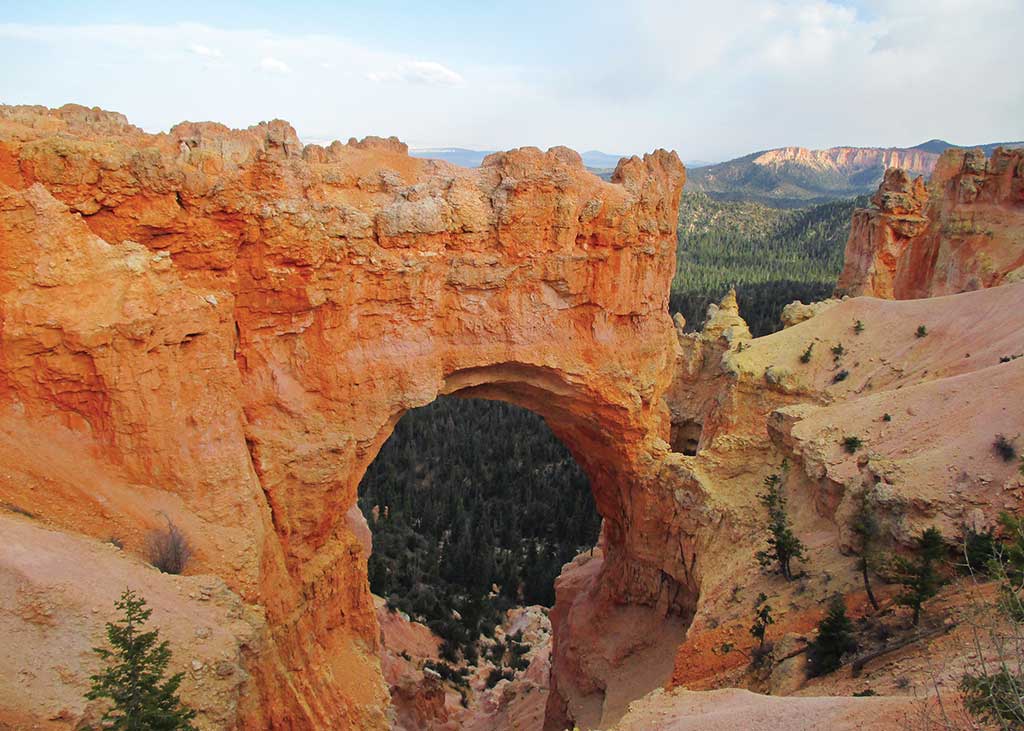
Agua and Ponderosa Canyons
You can admire sheer cliffs and hoodoos from the Agua Canyon overlook to the east, 1.4 miles (2.3 km) past Natural Bridge. With a little imagination, you may be able to pick out the Hunter and the Rabbit below. The Ponderosa Canyon overlook, 1.8 miles (2.9 km) farther east, offers a panorama similar to that at Farview Point.
Yovimpa and Rainbow Points
The land drops away in rugged canyons and fine views at the end of the scenic drive, 17 miles (27 km) south of the visitors center. At an elevation of 9,115 feet (2,778 m), this is the highest area of the park. Yovimpa and Rainbow Points are only a short walk apart yet offer different vistas. The Bristlecone Loop Trail is an easy 1-mile (1.6-km) loop from Rainbow Point to ancient bristlecone pines along the rim. The Riggs Spring Loop Trail makes a good day hike; you can begin from either Yovimpa Point or Rainbow Point and descend into canyons in the southern area of the park. The Under-the-Rim Trail starts from Rainbow Point and winds 23 miles (37 km) to Bryce Point; day hikers can make a 7.5-mile (12 km) trip by using the Agua Canyon Connecting Trail and a car shuttle.
By clicking ‘Sign Up,’ I acknowledge that I have read and agree to Hachette Book Group’s Privacy Policy and Terms of Use
See More of Utah's Parks
Pin it for Later
