Scenic Rocky Mountain Drive: Trail Ridge Road
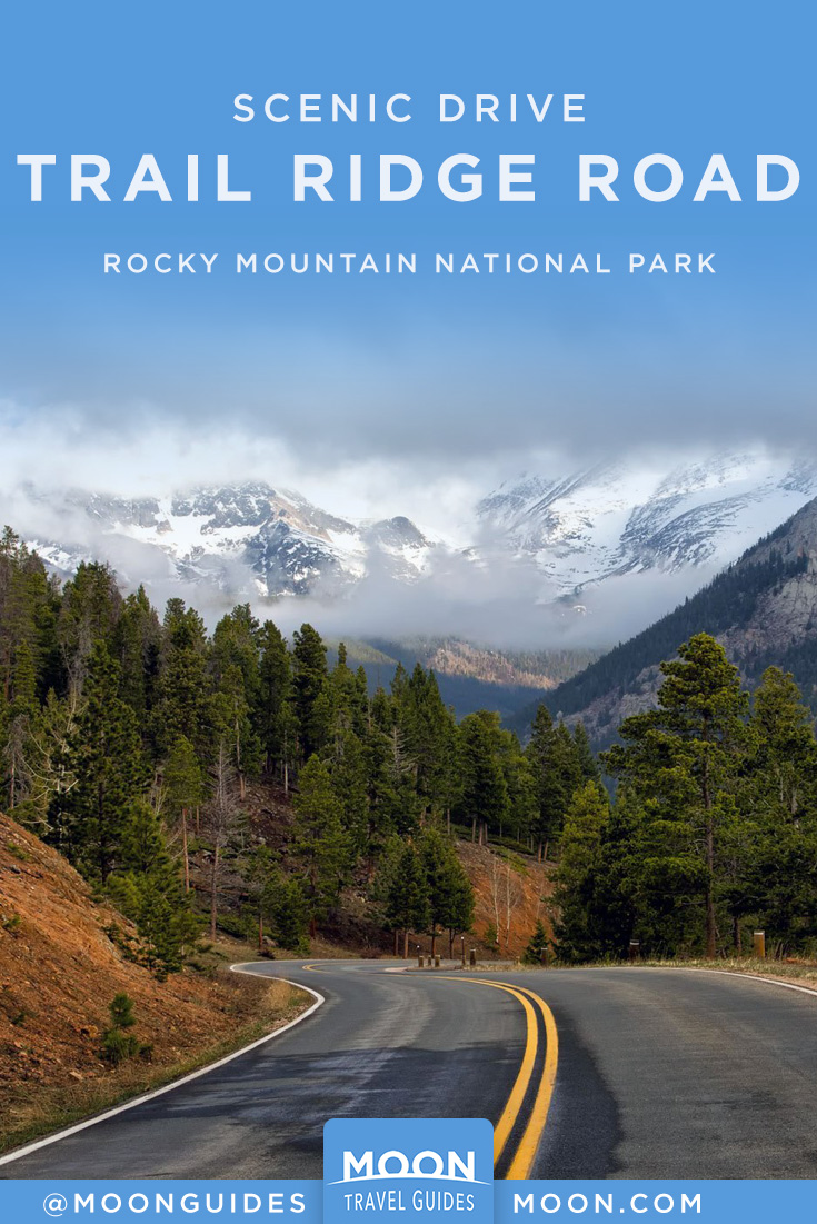
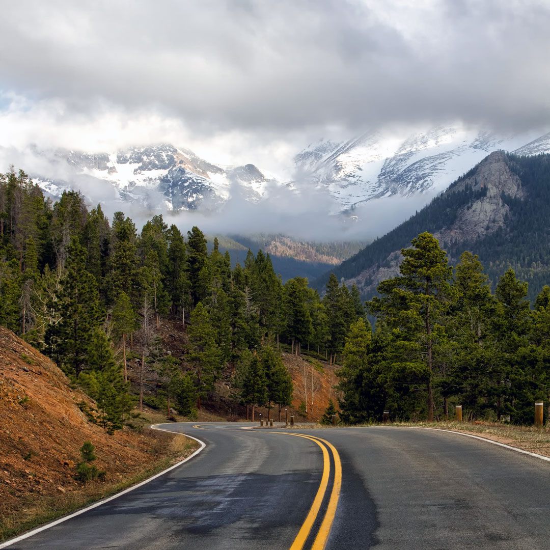
Trail Ridge Road (U.S. 34, May-mid-Oct.), the 48-mile paved road between Estes Park and Grand Lake, is the only road that crosses Rocky Mountain National Park. The country’s highest continuous paved road, Trail Ridge tops out at an impressive 12,183 feet. Although there are great views all along this scenic Rocky Mountain drive, the best are from the 11-mile section above tree line, where you are surrounded by windswept tundra stretching in every direction towards snow-capped peaks, dramatic steep-walled cirques, and deep valleys. This so-called Trail to the Sky offers some of the continent’s easiest access to the fragile tundra, where the growing season can last for as few as 40 days per year.
Trail Ridge Road was built between 1926 and 1932 to replace Old Fall River Road, which was too steep and narrow for drivers to easily navigate and too shady to provide early summer access. Thanks to its ridge-top location, Trail Ridge has less snow accumulation and more sunshine, attributes that allow the park service to open it much earlier—usually by Memorial Day weekend—and to keep it open until mid-October. Each year in mid-May, two veteran road crews, one on each side of the park, begin the painstaking and dangerous job of removing the 30 feet of snow that typically cover the road and whose layers often linger along the side until late June. Even after the crews meet, the park service sometimes needs to temporarily close the road, especially to avoid dangerous black ice.
Once Trail Ridge is open, driving it is an awe-inspiring adventure with stunning views that Horace Albright, a former director of the National Park Service, described as “the whole sweep of the Rockies before you in all directions.” From the lush, montane forests and fertile lowlands at either end, the road quickly climbs up to the tundra, a harsh environment where fierce winds, strong ultraviolet light, and intense cold greatly limit the plants and animals found here. Yet for a few precious weeks each summer, the tundra is home to carpets of dozens of different types of tiny wildflowers, glistening alpine lakes, and migratory and resident wildlife, which you can often spot from your car.
Newsletter Signup
By clicking ‘Sign Up,’ I acknowledge that I have read and agree to Hachette Book Group’s Privacy Policy and Terms of Use
Fortunately for drivers, there are many pullouts along the way, which are safe places to stop and snap photos and enjoy the forever views. From east to west, great viewpoints include Hidden Valley, where you can often spot chipmunks, Many Parks Curve, the highest point to which the eastern side of Trail Ridge is plowed in winter, and Rainbow Curve, where you can see the flat Great Plains stretching far to the east. Farther west along the road, you can learn more about the tundra at the Tundra World Nature Trail, an easy half-hour walk from the Rock Cut. Two miles west of the road’s highest point, which is unmarked, the Alpine Visitor Center awaits.
Continuing west on Trail Ridge Road, you cross the Continental Divide at 10,758-foot Milner Pass and have stunning views into the upper Colorado River Valley from the aptly named Farview Curve, a short distance above the gate that closes the road in winter.
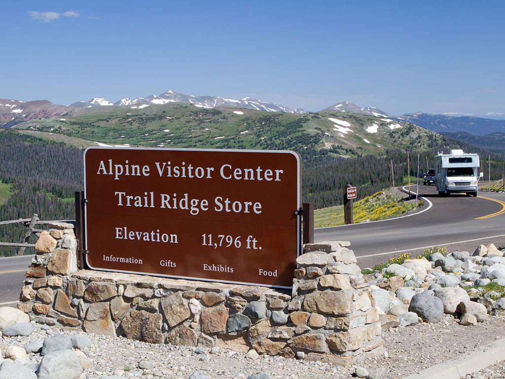
Alpine Visitor Center
Located at 11,796 feet in elevation, the Alpine Visitor Center feels like it’s perched on top of the world. Originally built in 1935, the center has been renovated several times, most recently in 2001. The building has a low profile and distinctive roof reinforced with large beams to withstand the fierce winds and crushing weight of dozens of feet of snow that can cover the structure in the winter. The center’s back windows and deck have one of the best views in Colorado, a panorama looking down Fall River Canyon toward Longs Peak and Estes Park far below.
The center has a few informative exhibits about the tundra, staff that can answer questions and help in case of an emergency, and restrooms (although it does not always have running water). Next door is the park’s only café, where you can also buy souvenirs.
Newsletter Signup
By clicking ‘Sign Up,’ I acknowledge that I have read and agree to Hachette Book Group’s Privacy Policy and Terms of Use
Pin it for Later
