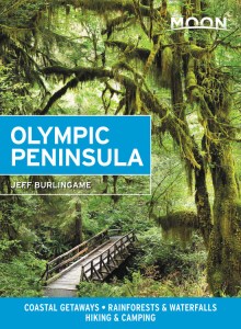
The Two-Day Olympic Discovery Trail Bike Trip
Pump up your bicycle tires, fill your water bottle and hitch a ride by ferry to Washington state’s rugged Olympic Peninsula for a two-day journey along the Olympic Discovery Trail (ODT), a multi-use route that stretches nearly 130 miles from the eastern Victorian seaport of Port Townsend to the western oceanfront village of La Push.
The ODT is a work-in-progress with four distinct sections: Sound and Bay (east section), River and Prairie (east central section), Foothills and Lake (west central section), and Forest and Ocean Section (west section). Most of the trail is paved and parallels the famed Pacific Coast Highway (also known as Highway 101), which, combined with a few residential roads, fills the gaps in the trail. Highway detours are easy to navigate and the entire route is well marked.
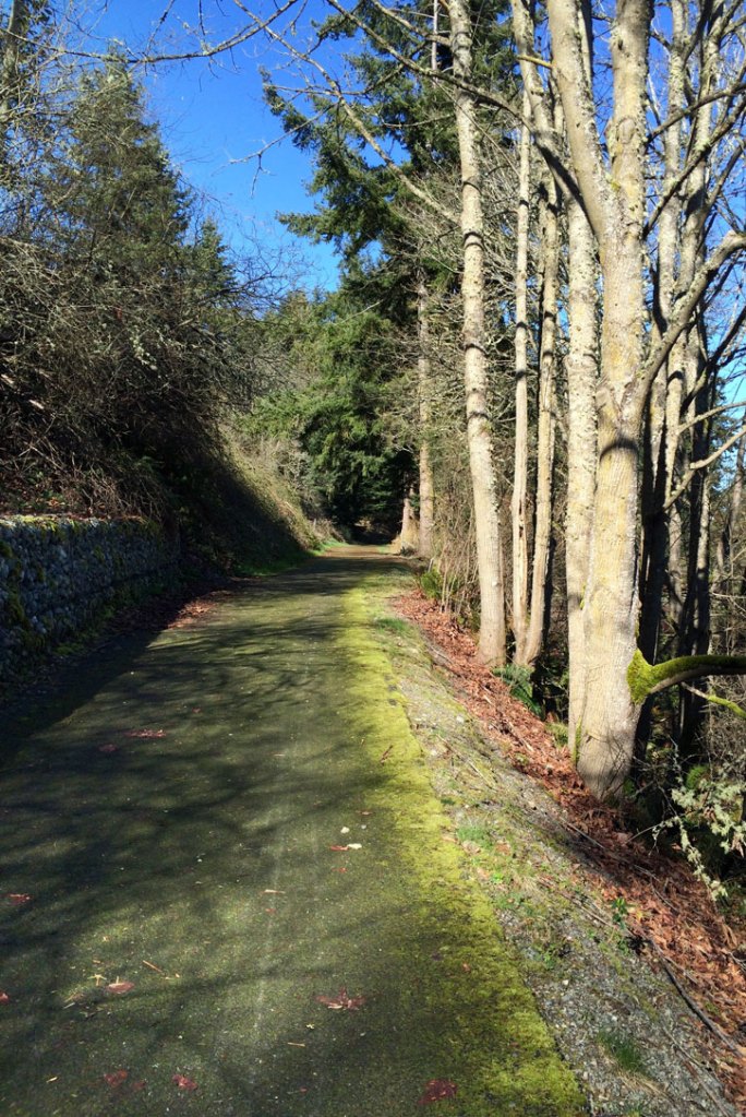
There are several access points and rest stops along the way, including 15 campgrounds to rest your legs for the night. Plenty of twists and turns will challenge your agility, so slow down! This journey is not meant to be experienced at high speeds (15 mph max). Besides, you won’t want to rush past the spectacular views of snowcapped mountains, wide-open meadows, flowing rivers, mist-laden rainforests, ocean vistas, and abundant wildlife.
Day One: Sound and Bay to River and Prairie (53.2 miles, approx. 3.5 hrs.)
Stock up on carbs with a good breakfast in Port Townsend at Blue Moose Café (311 Haines Pl., Port Townsend, 360/385-7339) then hit the pavement beginning at Boat Haven Marina on Puget Sound (or, as Native Americans call it, the Salish Sea). Turn west past the city’s paper mill, a landmark that’s difficult to miss. If you don’t see the smoke rising from the mill’s stacks you’ll definitely smell the pulpy fumes. But don’t let “old stenchworth” throw a rock in your spoke! There’s way too much adventure ahead and since the wind generally carries the smell south in the summer and north in the winter, your journey west is a promise of clear air. Follow the old railroad grade under Highway 20 toward the Cape George Trailhead. Back in the day, rail lines were built to transport timber to mills and ports on the northern coast. After the decline of logging, the railroad fizzled and the tracks were abandoned, until a couple of ardent riders proposed the idea to repurpose the rail grade for recreational use.
Natural features encapsulate the trail as it descends the Quimper Peninsula and meets up again with Highway 20. The road winds through prairie and forested landscapes toward the southern tip of Discovery Bay, named in 1792 by explorer Captain George Vancouver after his ship, the HMS Discovery. The Olympic and Cascade Mountains rise in the distance with several wide-open views of the blue waters of the Strait of Juan de Fuca.
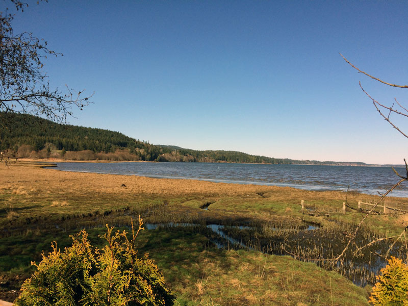
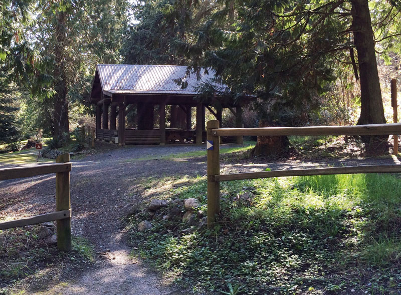
From Discovery Bay, the ODT follows Old Gardiner Road, with Highway 101 picking up the slack as you approach the southern tip of Sequim Bay in Blyn, the home of the Jamestown S’Kallam Tribal community, and the gateway to the East-Central section of the trail. From Blyn to Port Angeles you’ll encounter two miles of temporary road, including three short segments of gravel trail; afterward, it’s an easy ride along the railroad grade with the elevation never reaching more than 250 ft. There are nine bridges crossing creeks and rivers, four of which are restored railroad trestles. The trail passes through Sequim Bay Park, where you’ll find covered picnic areas and seasonal camping; the city of Sequim, where lavender and berry farms are worth a visit; and Railroad Bridge Park, where you’ll find the Audubon Center’s marine and wildlife exhibits. Prairie and farmland gives way to a forested canopy further west before the trail descends, joining a 400-foot long trestle that crosses Morse Creek. Turn north to reach the Strait of Juan de Fuca then follow the shoreline four miles into downtown Port Angeles. Treat yourself to a room at the Port Angeles Inn (111 E. 2nd St., 360/452-9285). It isn’t the Met, but it’s comfortable, reasonably priced, and offers views of the harbor. Walk across the street to enjoy a glass of wine at Wine on the Waterfront, a popular wine bar located on the pier, which offers a small but tasty menu.
Day Two: Foothills to Lake Crescent (Adventure Route) and Forest to Ocean (73.3 miles, approx. 5 hrs.)
Glide westward through coastal lowlands, glacier-fed lakes and rivers, and damp rainforests, catching a glimpse of elk, blacktail deer and bald eagles. Cross the Elwha River on a 586-foot long suspended bridge. For nearly a century, the river’s two dams operated as a source of hydroelectric power, but prevented salmon access to spawning grounds. After the removal of both dams (Elwha Dam in 2011 and Glines Canyon Dam in 2014), salmon populations, as well as those of bull trout and steelhead, have slowly begun to rise.
Beyond the river, the route traces the shoreline of the Strait of Juan de Fuca with nearby beaches and resorts accessible via side roads. Past the town of Joyce, the trail bends south to the spectacular glacial-cut Lake Crescent, a cold and deep body of water that for decades has entertained legends of a lake-creature. It’s easy to spend the day exploring around the lake. Hike to Marymere Falls, rent a kayak, or relax on the beaches. If you plan to spend the night, Fairholme campground lies on the western tip of Lake Crescent, and historic Lake Crescent Lodge on the south central shore of the lake offers dining, a coffee bar, a gift shop, and boat rentals.
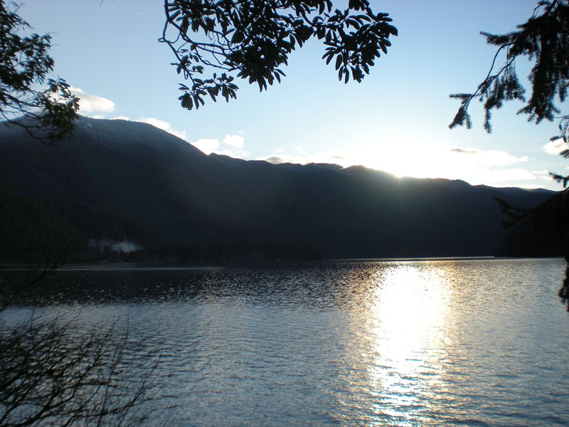
Continue along as the railroad grade follows the north side of the lake. The trail rises to its highest point of elevation, nearing 1140 ft, as it disappears into the dense forest – the end of the West Central trail section.
The final leg of the ODT is less about riding a trail and more about navigating US, state, and county paved roads. However, the last 1.5-mile stretch to the Pacific Ocean is achieved by way of a nicely paved trail—thanks to the Quileute Tribal Nation, whose home is in the village of La Push, at the mouth of the Quillayute River.
Head south on Cooper Ranch Road to Mary Clark Road (or stay on the less scenic Highway 101), winding down about 300 ft alongside the Sol Duc River. Ride through stands of Douglas fir and giant spruce with peek-a-boo views of the river to the right. For a worthy side trip, follow Highway 101 about two miles from Fairholme to Sol Duc Hot Springs. Approximately 14 miles up the road is the Sol Duc Falls Trailhead, an easy 0.8-mile hike.
Newsletter Signup
By clicking ‘Sign Up,’ I acknowledge that I have read and agree to Hachette Book Group’s Privacy Policy and Terms of Use
Back on Highway 101, turn right onto Highway 110 toward La Push. Cross the Bogachiel River (traveling on La Push Road), just a few miles before entering the Pacific Beach portion of Olympic National Park. Beyond the park, La Push marks the trail’s Pacific Ocean end. Enjoy fresh seafood at the River’s Edge Restaurant or pick up a few items at the Lonesome Creek Store. There is a campground, showers, bathrooms, and popular beach trails: two are accessed from the reservation and one from within the national park. Opt for the less traveled Second Beach Trail (2.4 miles, 250 ft elevation) that begins on the Quileute Indian Reservation. The trail crosses a small creek, climbs toward Olympic National Park, then descends steeply to a beautiful driftwood-strewn beach. Eagles and gulls fly overhead, and in spring and fall migrating whales can be seen. Offshore sea stacks, tide pools, stands of giant spruce, and spectacular sunsets make a visit to Second Beach the perfect way to end your 130-mile journey on the ODT.
Stay in an oceanfront cabin at the Quileute’s Oceanside Resort ($69-$299) and fall asleep to the sound of crashing waves.
Town Highlights En Route
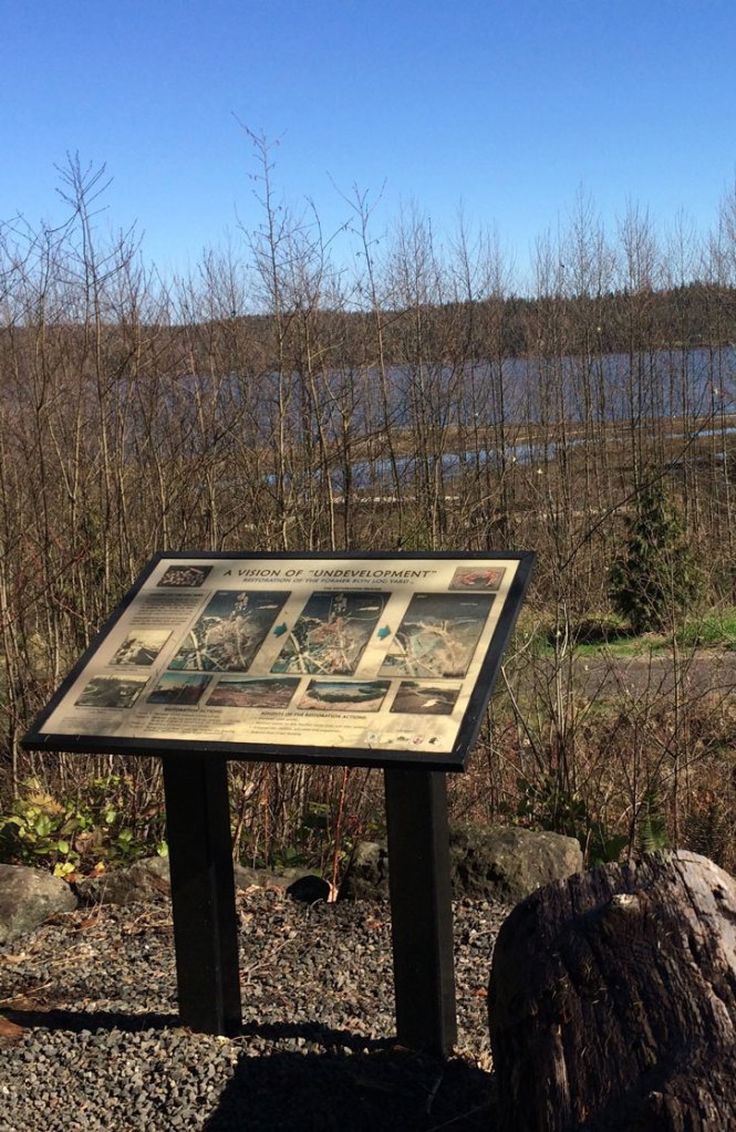
Blyn is a great spot for a break and to explore a little history of the area’s diverse tribal cultures. There’s an information kiosk, a Native American art gallery, and a carving shed. Less than a mile west, two short bridges cross the Jimmycomelately Creek and Estuary, a stream that flows from the Olympic Mountains and into the Bay. Logging and farming in the late 1800s nearly decimated the stream and salmon beds; the Jamestown S’Kallam Tribe has led restoration efforts to revive salmon runs and protect the stream. In the summer, you can watch as chum salmon fight their way to spawning grounds, and observe a variety of birds and wildlife. On the opposite side of Highway 101, the Longhouse Market & Deli and the Seven Cedars Casino offer food and a chance to pick up supplies before reaching your next stop in the town of Sequim.
Sequim is well known for sunshine and enchanted fields of lavender. It lies along the Dungeness River in the shadow of the Olympic Mountains and receives less than 16 inches of annual rainfall—about the same as Los Angeles. In July, the Lavender Festival Street Fair takes place at the center of town on Fir Street between Sequim and Third Avenues. Check out the local farmers’ market for fresh fruit and artisan-style goodies. When it comes to accommodations, Sequim also offers a bit of the unusual. For $175-$195 per night, the Red Caboose (24 Old Coyote Way, 360/683-7350) lets you stay in your own private railroad car and enjoy a gourmet breakfast, served in a 1937 Zephyr.
Port Angeles is the largest city on the Olympic Peninsula, and the gateway to Olympic National Park and Hurricane Ridge. Downtown, the waterfront offers magnificent views of the harbor and snowcapped Olympic Mountains. A ferry operates year-round from the pier to Victoria, Canada. There are guided tours of the city’s historical underground, charming restaurants, art galleries, and gift shops. A weekly farmers’ market offers locally grown food and crafts. Plan to visit in summer when the city buzzes with outdoor concerts and the Dungeness Crab & Seafood Festival.
Things to Know Before You Go
- Permits: You don’t need a permit to ride or walk the pathway, but you will need to pay a fee to enter Olympic National Park, or if you plan to stay in a designated campground. For information, visit parks.wa.gov.
- Food and Accommodations: The ODT traverses several towns with full-service amenities, but there are also some pretty remote sections, especially within the rainforest. Be sure to stuff a backpack with plenty of snacks and a first-aid kit.
- Weather: When it comes to the weather, expect the unexpected. Bring a raincoat and dress in layers.
- Pack a Map: Cellular service on the Olympic Peninsula is not reliable, and even if you get a signal, your phone’s GPS may not be accurate. Save your cell phone battery and bring a map, or go to olympicdiscoverytrail.com for printable maps of the route.
- Stay on the Trail: Don’t be a forest or meadow stomper! Staying on the trails helps protect animal and plant habitats.
Newsletter Signup
By clicking ‘Sign Up,’ I acknowledge that I have read and agree to Hachette Book Group’s Privacy Policy and Terms of Use
Pin it for Later


