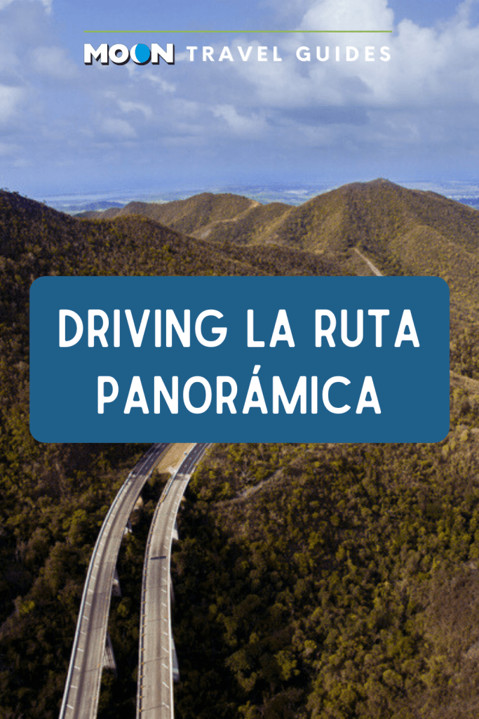
Driving La Ruta Panorámica
You couldn’t ask for a better way to explore the Cordillera Central than to drive this 270-kilometer (165-mi) route from Mayagüez on the west coast to Yabucoa on the southeast coast. The route takes visitors to breathtaking heights on the island’s highest peaks, revealing panoramic views of both the Atlantic and the Caribbean, as well as the dramatic mountains and valleys that make up the island’s spine. Parts of the route are so remote you may not see another car for miles.
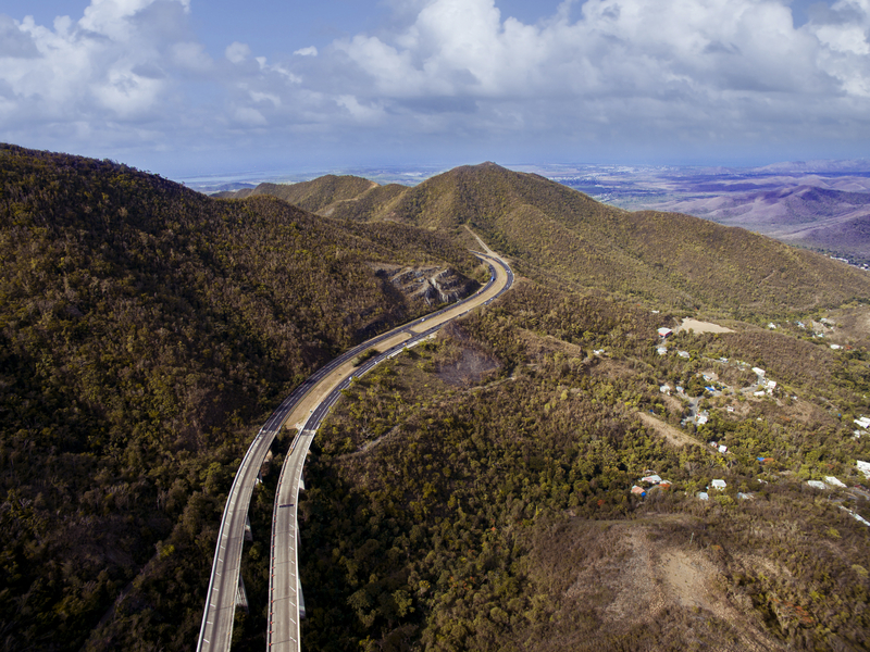
The well-maintained, well-marked, two-lane route traverses a network of secondary roads beginning on PR 105 in Mayagüez and ending on PR 182 in Yabucoa. It’s clearly marked on most maps, including the ubiquitous tourist map available at businesses throughout the island.
From end to end, the journey takes about six hours, not including stops, so plan to spend two days to see all the area has to offer.
Highlights along the way include Reserva Forestal de Carite in Cayey, Mirador Piedra Degetau in Aibonito, Mirador Orocovis-Villalba, Bosque Estatal de Toro Negro in Jayuya, and Bosque Estatal de Guilarte.
Most towns have at least one gas station. Cayey, Orocovis, Morovis, and Adjuntas are the best bets for dining. Recommended accommodations can be found in Cayey, Jayuya, and Utuado.
If you only want to explore part of the route, drive the PR 143 leg between Adjuntas and Barranquitas, which traverses the island’s highest mountains. The 68-kilometer (42-mi) route takes about 1.5 hours to drive.
Related Travel Guide

Pin for Later