Highway 395 Road Trip: Death Valley to Yosemite to Tahoe
California is ready-made for road-tripping. In only a few hours, you can drive from the lowest spot in the western hemisphere—Death Valley’s Badwater at minus 282 feet—to 10,000 feet in elevation near the Sierra’s crest. With saw-toothed granite peaks on one side and the arid desert on the other, this Highway 395 road trip will connect it all.
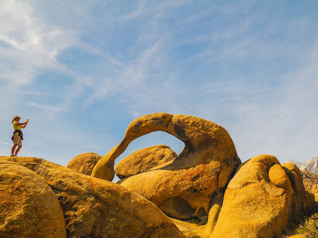
Head west out of Death Valley to US 395 at Lone Pine. At the Beverly and Jim Rogers Museum of Lone Pine Film History, check out Hollywood props like costumes, saddles, and guns salvaged from the hundreds of Old West movies filmed in the neighboring Alabama Hills. Pick up the Movie Road Self-Guided Tour booklet and drive the Movie Road to Movie Flat, where dirt roads fan out to famous film locations—Gene Autry Rock, Lone Ranger Canyon, and Gary Cooper Rock. You’ll have big views of 14,505-foot Mount Whitney, the tallest peak in the contiguous United States.
Next stop: Bishop. Relive the real Old West with a stop at the Laws Railroad Museum, where you can wander through twenty-eight wooden buildings crammed with pioneer curios: antique sewing machines, nineteenth-century dentist tools, blue glass medicine bottles, and Victorian wreaths made from human hair. As you head north out of town, stock up on elk and buffalo jerky—the perfect car snacks—at Mahogany Smoked Meats.
Newsletter Signup
By clicking ‘Sign Up,’ I acknowledge that I have read and agree to Hachette Book Group’s Privacy Policy and Terms of Use
At the junction with Highway 203 to Mammoth Lakes, turn west and cruise up to California’s largest ski resort. Year-round you can ride the gondola to Mammoth Mountain’s 11,053-foot summit and view the panorama of the Sierra’s highest peaks. Don’t like heights? Rent a bike and pedal into the Mammoth Lakes Basin, or go for a hike: A steep but short trail leads to Crystal Lake, which fills a granite bowl below 10,377-foot Crystal Crag.
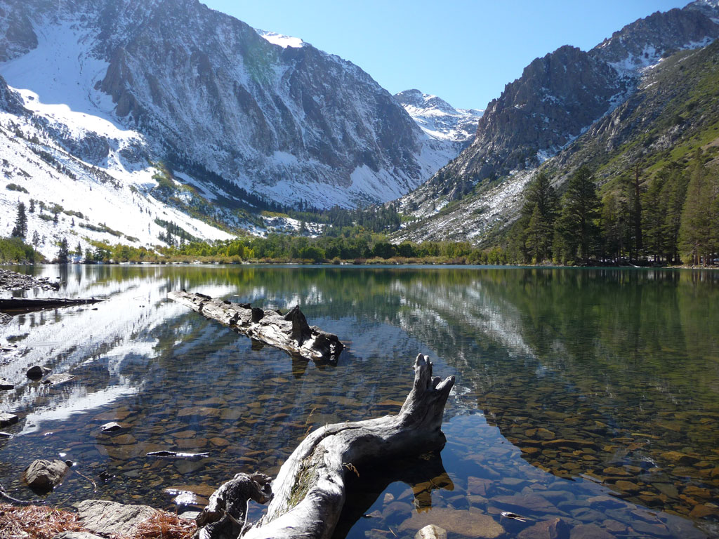
Continuing north on US 395, Mono Lake appears like a mirage—or maybe a land-locked ocean. From a distance, its 65-square-mile size dazzles, but get a close-up view at Mono Lake Tufa State Natural Reserve. Walk the path that skirts past knobby clusters of tufa formations at the lake’s shoreline.
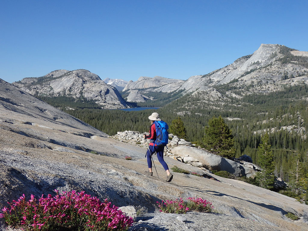
In Lee Vining, drive uphill (west) on Highway 120 to see Tioga Pass and Yosemite’s glorious eastern side. Stop for a meal at the historic Tioga Pass Resort, or take a walk in the splendor of Tuolumne Meadows. Hiking trails abound, from short strolls to multi-day treks.
US 395 continues north to Bridgeport, passing Route 270 to Bodie State Historic Park—a worthy side-trip. The West’s largest unrestored ghost town, Bodie consists of 100 deserted buildings left from the days when gold fever gripped the Sierra. Peer in the windows to see tables, chairs, bed frames, and calendars that were abruptly abandoned when the mining boom went bust.
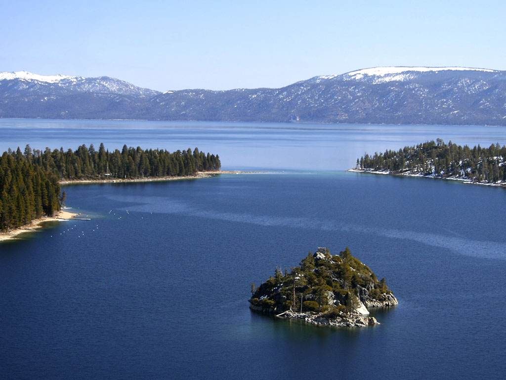
Beyond Bridgeport, 395 follows the Walker River Canyon, a raging waterway in spring and a mellow stream in late summer. Continue north into Nevada, then take the western turnoff for Kingsbury Grade (Highway 207). Climb up this steep, winding grade, then drop down to the vast blueness of Lake Tahoe, the largest alpine lake in North America.
If you do this road trip, tag @moonguides on social media or use the #travelwithmoon hashtag. And don’t forget your copy of Moon Yosemite, Sequoia & Kings Canyon for an even bigger adventure in and around the park!
Newsletter Signup
By clicking ‘Sign Up,’ I acknowledge that I have read and agree to Hachette Book Group’s Privacy Policy and Terms of Use
Pin For Later

