The Landscape and Climate of Colombia

Colombia covers a land area of 1.14 million square kilometers (440,000 square miles), roughly the size of Texas and California combined, making it the fourth largest South American country in area after Brazil, Argentina, and Peru. It is located in the northwest corner of South America, with seacoast on both the Pacific and the Atlantic, and bordering Venezuela, Brazil, Peru, Ecuador, and Panama. The Amazonian departments of Putumayo, Caquetá, Amazonas, and Vaupás in the south of the country straddle the Equator.
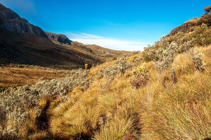
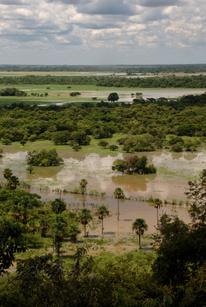
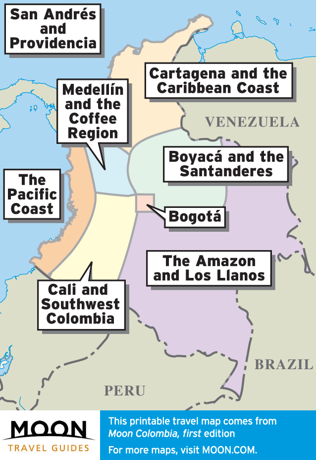
For a country of its size, it has an astonishing variety of landscapes, including the dense rainforests of the Amazon and the Pacific Coast, the vast grassland plains of the Llanos, the lofty Andes Mountains, and the Caribbean islands of San Andrés and Providencia. Colombia’s mountainous regions themselves hold a succession of vertically layered landscapes: tropical rainforests at their base, followed by cloud forests at higher elevations, topped by the unique tropical high mountain páramo (highland moor) above 3,500 meters. The country boasts several peaks higher than 5,000 meters, including Nevado del Ruiz (5,325 meters/17,470 feet) and Pico Cristóbal Colón (5,776 meters/18,950 feet).
Newsletter Signup
By clicking ‘Sign Up,’ I acknowledge that I have read and agree to Hachette Book Group’s Privacy Policy and Terms of Use
Colombia’s Climate
Colombia has a typically tropical climate, with no change of seasons. Climate is related primarily to elevation, and there are defined annual precipitation patterns.
In the mountainous areas, temperature decreases approximately six degrees Celsius per every 1,000 meters of elevation (three degrees Fahrenheit per every 1,000 feet). The common designations for the altitudinal zones are as follows: tierra caliente (hot lands) is anywhere below 1,000 meters of elevation; tierra templada (temperate lands) is anywhere between 1,000 and 2000 meters; and tierra fría (cold land) is anywhere above 2,000 meters. Roughly 80 percent of the country is tierra caliente, 10 percent is tierra templada, and 7 percent is tierra fría.
Cartagena, which is at sea level, has an average temperature of 27.5°C (81.5°F); Medellín, which is at 1,600 meters (5,250 feet), has an average temperature of 22°C (71.5°F); and the capital city of Bogotá, which is built at 2,625 meters (8,612 feet), has an average temperature of 13.5°C (56°F).

Precipitation patterns vary throughout the country. In the Andean region, there are generally two periods of verano (dry season, literally “summer”), from December to March and from June to September, and two periods of invierno (rainy season, literally “winter”), in April and May and from October to November. In the Caribbean Coast, the dry period is from December to April and the rainy season is from May to November. In the Pacific it rains almost the entire year, but there is a slight dry spell from December to March. In the Llanos, there are two very marked seasons: a very dry verano from November to March and a very wet invierno from April to October. In the Amazon, it rains almost the entire year, but there is a slight dry spell from August to October.
Extreme weather in Colombia is rare, but the country is susceptible to weather phenomena such as El Niño or La Niña, when temperatures in the Pacific Ocean rise or fall, respectively. More than 400 people died during devastating flooding and mudslides that occurred throughout much of the country during a particularly strong Niña in 2010-2011.
San Andrés and Providencia are occasionally, and the Caribbean mainland of Colombia rarely, in the path of Atlantic hurricanes August through October. The last storm of significance was Hurricane Beta in 2005. It caused considerable damage in Providencia.

Newsletter Signup
By clicking ‘Sign Up,’ I acknowledge that I have read and agree to Hachette Book Group’s Privacy Policy and Terms of Use
Pin it for Later


